
| Distance / Altitude | Location | Report Date / Time | Live Weather | Wind | Gusts | Temp. | Visibility | Cloud |
|---|---|---|---|---|---|---|---|---|
| 6 km WSW / 216 m | Kuujjuaq Airport (Quebec) | 2024-04-29 12:00 local (2024/04/29 16:00 GMT) | Light snow | moderate winds from the NNW.(Wind varies from 270 to 350 degs) (20 km/h at 330) | -8°C | 24 | overcast | |
| 6 km W / 123 m | Kuujjuaq- Ua- Que (Canada) | 2024-04-29 12:00 local (2024/04/29 16:00 GMT) | no report | - (- km/h at -) | -7°C | - | - | |
| 115 km WNW / 274 m | Tasiujaq Airport (Quebec) | 2024-04-29 12:00 local (2024/04/29 16:00 GMT) | Light snow | moderate winds from the NW (22 km/h at 320) | -8°C | 19 | broken | |
| 151 km NW / 132 m | Aupaluk Airport (Quebec) | 2024-04-29 12:00 local (2024/04/29 16:00 GMT) | Dry and partly cloudy | moderate winds from the NW (20 km/h at 310) | -8°C | 24 | broken | |
| 154 km ENE / 282 m | Kangiksualujjuaq Airport (Quebec) | 2024-04-29 12:00 local (2024/04/29 16:00 GMT) | Light snow | light winds from the WNW (17 km/h at 290) | -7°C | 23 | scattered overcast |
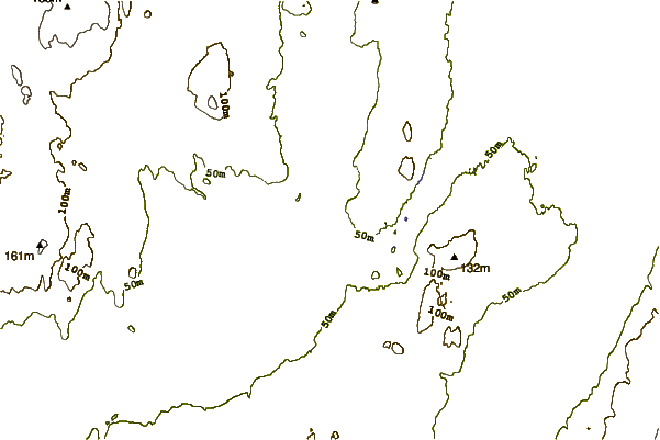
| Contours: | Roads & Rivers: | Select a
tide station / surf break / city |
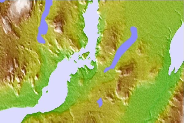
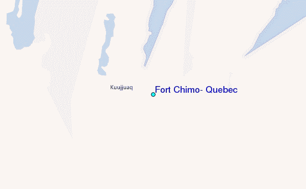
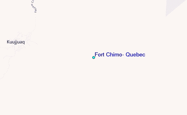
Use this relief map to navigate to tide stations, surf breaks and cities that are in the area of Fort Chimo, Quebec.
Other Nearby Locations' tide tables and tide charts to Fort Chimo, Quebec:
click location name for more details
 Surf breaks close to Fort Chimo, Quebec:
|
||
|---|---|---|
| Closest surf break | Ingonish Beach | 859 mi |
| Second closest surf break | Kennington Cove | 914 mi |
| Third closest surf break | Michaud Point | 924 mi |
| Fourth closest surf break | Martinique | 953 mi |
| Fifth closest surf break | Lawrencetown Reef | 954 mi |

 Nearest
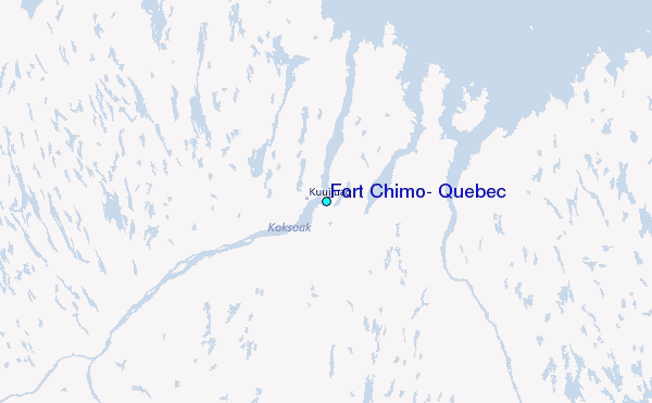