
| Distance / Altitude | Location | Report Date / Time | Live Weather | Wind | Gusts | Temp. | Visibility | Cloud |
|---|---|---|---|---|---|---|---|---|
| 1 km NNE / 3 m | BUOY-BLTM2 (Marine) | 2024-04-27 09:30 local (2024/04/27 13:30 GMT) | light winds from the SE (11 km/h at 130) | 12°C | - | |||
| 6 km SE / 3 m | BUOY-CBCM2 (Marine) | 2024-04-27 09:30 local (2024/04/27 13:30 GMT) | light winds from the SSE (15 km/h at 150) | 12°C | - | |||
| 7 km SE / 3 m | BUOY-FSKM2 (Marine) | 2024-04-27 09:30 local (2024/04/27 13:30 GMT) | light winds from the SE (13 km/h at 130) | 12°C | - | |||
| 13 km SSW / 217 m | Baltimore/Washington International Thurgood Marshall Airport (Maryland) | 2024-04-27 08:54 local (2024/04/27 12:54 GMT) | Dry and cloudy | light winds from the ESE (9 km/h at 110) | 12°C | 16 | few overcast | |
| 16 km ENE / 203 m | Baltimore/Martin State Airport (Maryland) | 2024-04-27 08:54 local (2024/04/27 12:54 GMT) | Dry and cloudy | light winds from the E (6 km/h at 100) | 11°C | 16 | overcast |
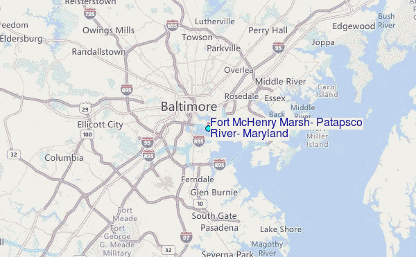
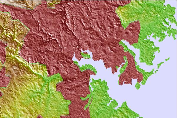
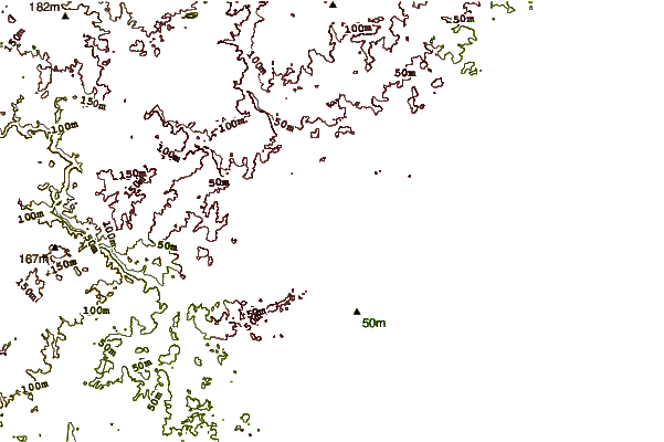
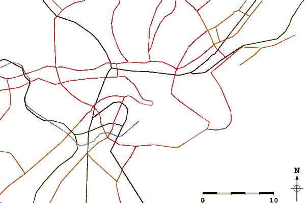
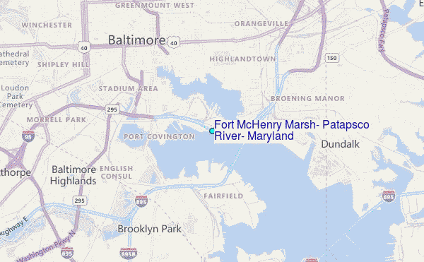
Choose Fort McHenry Marsh, Patapsco River, Maryland Location Map Zoom:
| Contours: | Roads & Rivers: | Select a
tide station / surf break / city |
Use this relief map to navigate to tide stations, surf breaks and cities that are in the area of Fort McHenry Marsh, Patapsco River, Maryland.
Other Nearby Locations' tide tables and tide charts to Fort McHenry Marsh, Patapsco River, Maryland:
click location name for more details
 Surf breaks close to Fort McHenry Marsh, Patapsco River, Maryland:
|
||
|---|---|---|
| Closest surf break | Naval Jetties | 87 mi |
| Second closest surf break | The Cove Delaware | 87 mi |
| Third closest surf break | Rehoboth Main | 89 mi |
| Fourth closest surf break | Dewey Beach | 90 mi |
| Fifth closest surf break | Tower Road | 91 mi |

 Nearest
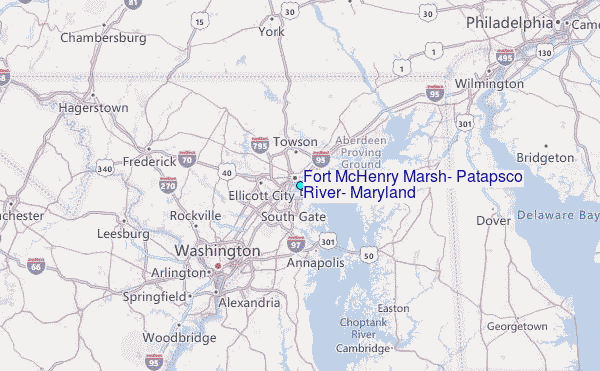