
| Distance / Altitude | Location | Report Date / Time | Live Weather | Wind | Gusts | Temp. | Visibility | Cloud |
|---|---|---|---|---|---|---|---|---|
| 6 km ENE / 214 m | Le Lamentin/Martinique Aimé Césaire International Airport (Lesser Antilles) | 2024-04-27 15:30 local (2024/04/27 19:30 GMT) | Dry and partly cloudy | light winds from the E.(Wind varies from 050 to 130 degs) (15 km/h at 90) | 31°C | 10.0 | broken | |
| 6 km ENE / 8 m | Lamentin -Aero (France) | 2024-04-27 14:00 local (2024/04/27 18:00 GMT) | no report | light winds from the E (18 km/h at 90) | 31°C | 50 | - | |
| 28 km NE / 39 m | Trinite -Caravelle (France) | 2024-04-27 14:00 local (2024/04/27 18:00 GMT) | no report | light winds from the E (18 km/h at 90) | 29°C | - | - | |
| 63 km S / 2 m | GeorgeF.l.Charles Airport (Saint Lucia) | 2024-04-27 14:00 local (2024/04/27 18:00 GMT) | Clouds developing | light winds from the ENE (17 km/h at 70) | 31°C | 50 km | scattered | |
| 63 km S / 348 m | George F. L. Charles Airport/Vigie/St Lucia (Lesser Antilles) | 2024-04-27 15:00 local (2024/04/27 19:00 GMT) | Dry and partly cloudy | light winds from the E (19 km/h at 90) | 31°C | 10.0 | scattered |
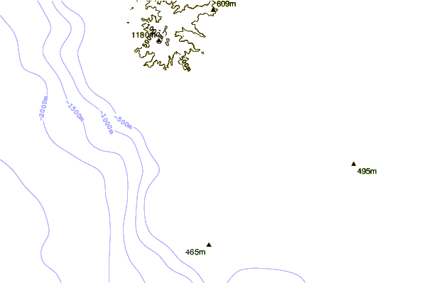
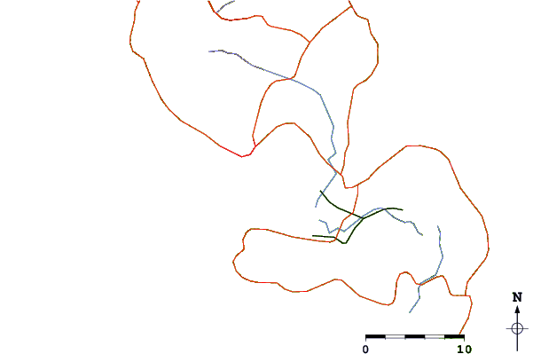
| Contours: | Roads & Rivers: | Select a
tide station / surf break / city |
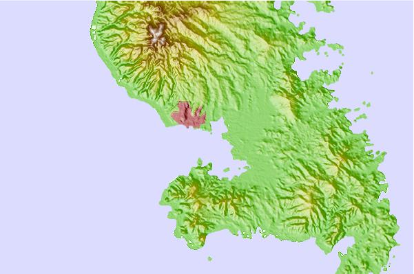
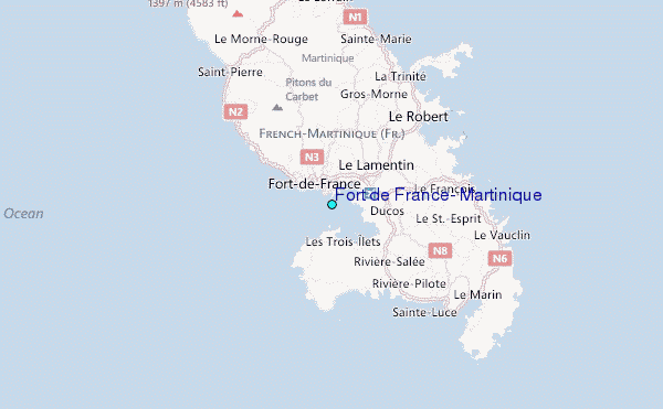
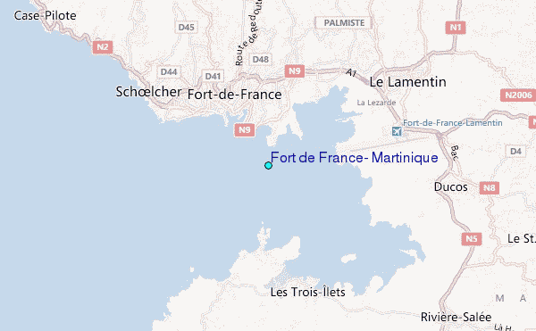
Use this relief map to navigate to tide stations, surf breaks and cities that are in the area of Fort de France, Martinique.
Other Nearby Locations' tide tables and tide charts to Fort de France, Martinique:
click location name for more details
 Surf breaks close to Fort de France, Martinique:
|
||
|---|---|---|
| Closest surf break | Diam's | 8 mi |
| Second closest surf break | Anse Cafard | 9 mi |
| Third closest surf break | Charpencaye | 16 mi |
| Fourth closest surf break | Cocoa | 16 mi |
| Fifth closest surf break | Pelle a Tarte | 16 mi |

 Nearest
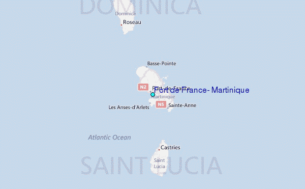