
| Distance / Altitude | Location | Report Date / Time | Live Weather | Wind | Gusts | Temp. | Visibility | Cloud |
|---|---|---|---|---|---|---|---|---|
| 43 km E / 16 m | Yoron Island Airport (Japan) | 2024-05-03 00:00 local (2024/05/02 15:00 GMT) | Dry and partly cloudy | calm (4 km/h at 360) | 21°C | 10.0 | no significant cloud | |
| 45 km SSW / 15 m | SHIP10252 (Marine) | 2024-05-03 01:00 local (2024/05/02 16:00 GMT) | - (- km/h at -) | — | - km | |||
| 50 km S / 18 m | Nago (Japan) | 2024-05-03 01:00 local (2024/05/02 16:00 GMT) | - | calm (2 km/h at 50) | 21°C | 40 km | no observation | |
| 79 km S / 217 m | Kadena Air Force Base Airport (Japan) | 2024-05-02 23:55 local (2024/05/02 14:55 GMT) | Dry and partly cloudy | calm (0 km/h at 0) | 21°C | 16 | broken | |
| 85 km ENE / 30 m | Okinoerabu (Japan) | 2024-05-03 01:00 local (2024/05/02 16:00 GMT) | - | calm (4 km/h at 270) | 21°C | 40 km | no observation |
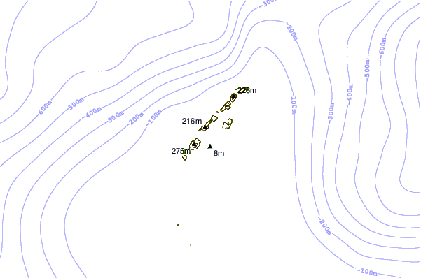
| Contours: | Roads & Rivers: | Select a
tide station / surf break / city |
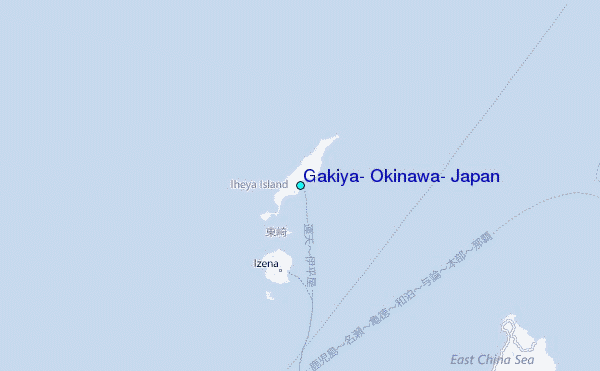
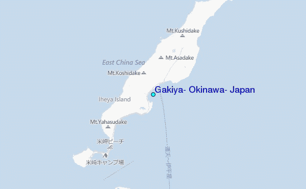
Use this relief map to navigate to tide stations, surf breaks and cities that are in the area of Gakiya, Okinawa, Japan.
Other Nearby Locations' tide tables and tide charts to Gakiya, Okinawa, Japan:
click location name for more details
 Surf breaks close to Gakiya, Okinawa, Japan:
|
||
|---|---|---|
| Closest surf break | Ko-Chan (Hedo Point) | 22 mi |
| Second closest surf break | Yona Bay | 23 mi |
| Third closest surf break | Oku | 24 mi |
| Fourth closest surf break | Rocky Point | 26 mi |
| Fifth closest surf break | Sesako Island | 27 mi |

 Nearest
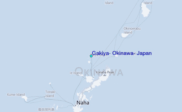