
| Distance / Altitude | Location | Report Date / Time | Live Weather | Wind | Gusts | Temp. | Visibility | Cloud |
|---|---|---|---|---|---|---|---|---|
| 26 km W / 375 m | Vága Floghavn/Sørvágur-Airport (Denmark) | 2024-05-03 17:20 local (2024/05/03 16:20 GMT) | Dry and partly cloudy | moderate winds from the SE (22 km/h at 140) | 13°C | 10.0 | no cloud | |
| 218 km SE / 3 m | K7 Buoy (Marine) | 2024-05-03 18:00 local (2024/05/03 17:00 GMT) | - (- km/h at -) | — | - | |||
| 265 km ESE / 3 m | Clair (Marine) | 2024-05-03 18:00 local (2024/05/03 17:00 GMT) | - (- km/h at -) | — | - | |||
| 276 km ESE / - m | SHIP6383 (ocean) | 2024-05-03 17:01 local (2024/05/03 16:01 GMT) | Clear skies | moderate winds from the ENE (20 km/h at 70) | — | 20 km | no observation | |
| 346 km ESE / 15 m | Baltasound NO 2 (United Kingdom) | 2024-05-03 18:00 local (2024/05/03 17:00 GMT) | no report | light winds from the E (17 km/h at 80) | 11°C | 44 km | - clear - |
| Contours: | Roads & Rivers: | Select a
tide station / surf break / city |
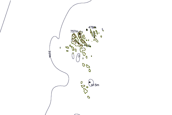
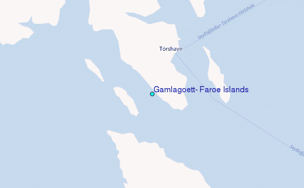
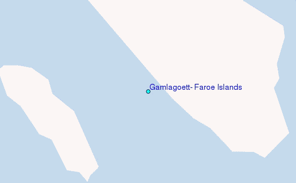
Use this relief map to navigate to tide stations, surf breaks and cities that are in the area of Gamlagætt, Faroe Islands.
Other Nearby Locations' tide tables and tide charts to Gamlagatt, Faroe Islands:
click location name for more details
 Surf breaks close to Gamlagatt, Faroe Islands:
|
||
|---|---|---|
| Closest surf break | Húsavik Shorey (Sandoy) | 12 mi |
| Second closest surf break | Tjornuvik Bay (Streymoy) | 26 mi |
| Third closest surf break | Birsay Bay | 229 mi |
| Fourth closest surf break | Saviskaill Bay | 232 mi |
| Fifth closest surf break | Bay of Skaill | 234 mi |

 Nearest
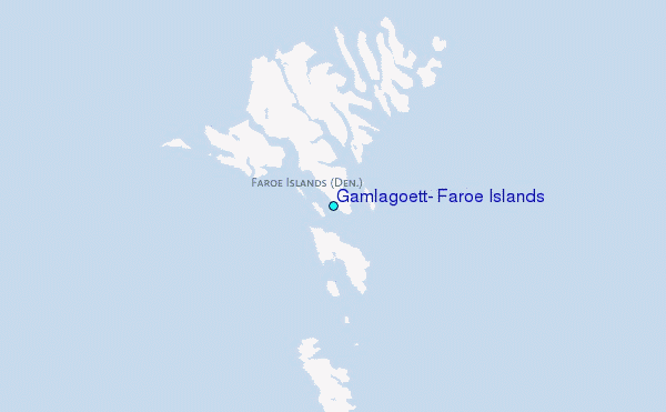