
| Distance / Altitude | Location | Report Date / Time | Live Weather | Wind | Gusts | Temp. | Visibility | Cloud |
|---|---|---|---|---|---|---|---|---|
| 2 km NE / - m | SHIP15 (ocean) | 2024-04-28 11:00 local (2024/04/28 16:00 GMT) | No report | light winds from the SSE (15 km/h at 160) | 24°C | - | no observation | |
| 2 km NE / - m | SHIP3661 (ocean) | 2024-04-28 11:00 local (2024/04/28 16:00 GMT) | No report | light winds from the ESE (15 km/h at 110) | 24°C | - | no observation | |
| 2 km NE / - m | SHIP6294 (ocean) | 2024-04-28 12:00 local (2024/04/28 17:00 GMT) | No report | fresh winds from the ESE (35 km/h at 120) | 24°C | - | no observation | |
| 2 km NE / 15 m | SHIP11292 (Marine) | 2024-04-28 12:00 local (2024/04/28 17:00 GMT) | fresh winds from the ESE (29.52 km/h at 120) | 25°C | - km | |||
| 2 km NE / 15 m | SHIP11799 (Marine) | 2024-04-28 11:00 local (2024/04/28 16:00 GMT) | moderate winds from the SE (27.720000000000002 km/h at 130) | 25°C | - km |
| Contours: | Roads & Rivers: | Select a
tide station / surf break / city |
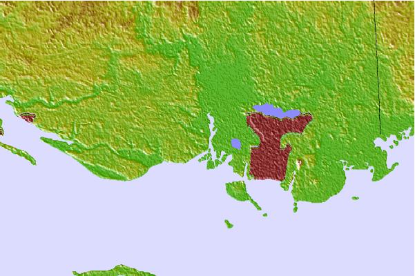

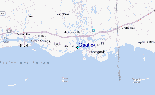
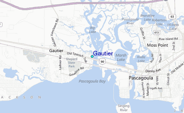
Use this relief map to navigate to tide stations, surf breaks and cities that are in the area of Gautier.
Other Nearby Locations' tide tables and tide charts to Gautier:
click location name for more details
 Surf breaks close to Gautier:
|
||
|---|---|---|
| Closest surf break | Dauphin Island Pier | 34 mi |
| Second closest surf break | Chandeleur Islands | 40 mi |
| Third closest surf break | West Pass | 53 mi |
| Fourth closest surf break | Terry s Cove | 62 mi |
| Fifth closest surf break | Alabama Point | 63 mi |

 Nearest
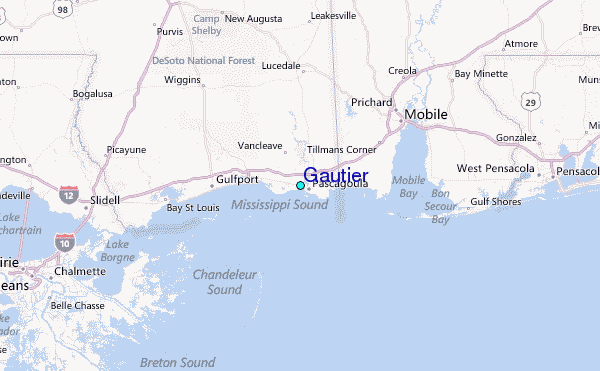