
| Distance / Altitude | Location | Report Date / Time | Live Weather | Wind | Gusts | Temp. | Visibility | Cloud |
|---|---|---|---|---|---|---|---|---|
| 119 km ENE / 39 m | Yakushima(47836-1) (Japan) | 2024-04-29 08:00 local (2024/04/28 23:00 GMT) | Rain and snow or hail | light winds from the SE (15 km/h at 130) | 22°C | 37 km | - no observation - | |
| 151 km ENE / 328 m | Tanegashima Airport (Japan) | 2024-04-29 08:44 local (2024/04/28 23:44 GMT) | Mist - | light winds from the ESE.(Wind varies from 090 to 160 degs) (13 km/h at 120) | 21°C | 5.0 | few scattered broken | |
| 153 km NE / 3 m | SHIP10236 (Marine) | 2024-04-29 06:00 local (2024/04/28 21:00 GMT) | - (- km/h at -) | 21°C | - | |||
| 165 km NE / 38 m | Tanegashima (Japan) | 2024-04-29 08:00 local (2024/04/28 23:00 GMT) | Rain and snow or hail | light winds from the SE (9 km/h at 130) | 23°C | 30 km | no observation | |
| 166 km S / 416 m | Amami Airport (Japan) | 2024-04-29 07:34 local (2024/04/28 22:34 GMT) | Dry and partly cloudy | light winds from the SW (17 km/h at 230) | — | 10.0 | few scattered broken |

| Contours: | Roads & Rivers: | Select a
tide station / surf break / city |
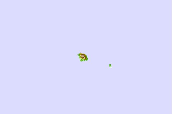
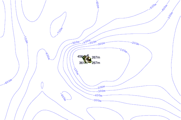
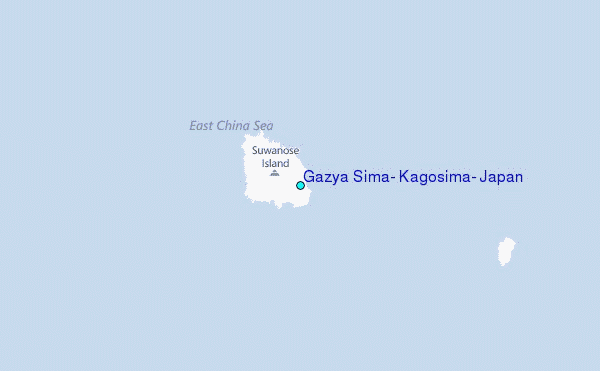
Use this relief map to navigate to tide stations, surf breaks and cities that are in the area of Gazya Sima, Kagosima, Japan.
Other Nearby Locations' tide tables and tide charts to Gazya Sima, Kagosima, Japan:
click location name for more details
 Surf breaks close to Gazya Sima, Kagosima, Japan:
|
||
|---|---|---|
| Closest surf break | Nagata | 144 mi |
| Second closest surf break | Cape Toi | 147 mi |
| Third closest surf break | Kojima | 152 mi |
| Fourth closest surf break | Nichinan | 161 mi |
| Fifth closest surf break | Unnamed | 162 mi |

 Nearest
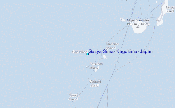