
| Distance / Altitude | Location | Report Date / Time | Live Weather | Wind | Gusts | Temp. | Visibility | Cloud |
|---|---|---|---|---|---|---|---|---|
| 4 km E / 6 m | Kumejima (Japan) | 2024-04-28 03:00 local (2024/04/27 18:00 GMT) | - | calm (4 km/h at 280) | 24°C | 40 km | no observation | |
| 90 km ESE / 218 m | Naha Airport (Japan) | 2024-04-28 02:30 local (2024/04/27 17:30 GMT) | Dry and partly cloudy | calm (4 km/h at 1) | 25°C | 10.0 | no significant cloud | |
| 93 km E / 50 m | Naha (Japan) | 2024-04-28 02:00 local (2024/04/27 17:00 GMT) | - | light winds from the S (6 km/h at 190) | 25°C | 40 km | no observation | |
| 98 km E / 468 m | Futenma Airport (Japan) | 2024-04-28 01:56 local (2024/04/27 16:56 GMT) | Dry and partly cloudy | calm (0 km/h at 0) | 24°C | 10.0 | few broken broken | |
| 100 km E / 217 m | Kadena Air Force Base Airport (Japan) | 2024-04-28 02:25 local (2024/04/27 17:25 GMT) | Mist - | light winds from the NE (7 km/h at 40) | 23°C | 6 | broken |
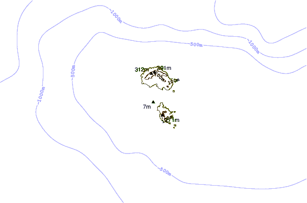
| Contours: | Roads & Rivers: | Select a
tide station / surf break / city |
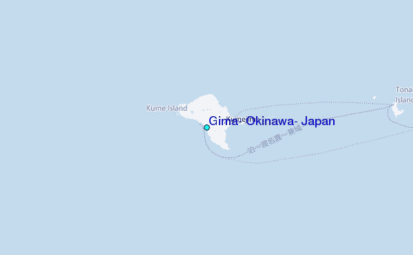
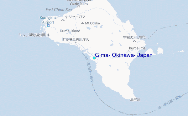
Use this relief map to navigate to tide stations, surf breaks and cities that are in the area of Gima, Okinawa, Japan.
Other Nearby Locations' tide tables and tide charts to Gima, Okinawa, Japan:
click location name for more details
 Surf breaks close to Gima, Okinawa, Japan:
|
||
|---|---|---|
| Closest surf break | Aja | 56 mi |
| Second closest surf break | Mainside | 59 mi |
| Third closest surf break | Zampa (Inside) | 59 mi |
| Fourth closest surf break | Zampa (The Rock) | 59 mi |
| Fifth closest surf break | Castles | 60 mi |

 Nearest
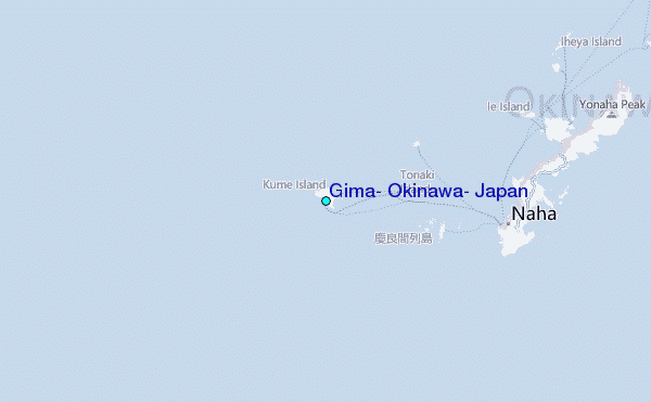