
| Distance / Altitude | Location | Report Date / Time | Live Weather | Wind | Gusts | Temp. | Visibility | Cloud |
|---|---|---|---|---|---|---|---|---|
| 14 km S / 3 m | BUOY-NCDV2 (Marine) | 2024-04-27 01:30 local (2024/04/27 05:30 GMT) | light winds from the SSE (18 km/h at 150) | 12°C | - | |||
| 21 km W / 219 m | Quantico Marine Corps Air Facility Airport (Virginia) | 2024-04-27 00:56 local (2024/04/27 04:56 GMT) | Dry and cloudy | light winds from the SSE (19 km/h at 160) | 13°C | 8 | overcast | |
| 31 km NW / 218 m | Fort Belvoir/Davison Airport (Virginia) | 2024-04-27 00:55 local (2024/04/27 04:55 GMT) | Dry and cloudy | light winds from the ESE (15 km/h at 120) | 12°C | 16 | overcast | |
| 35 km WSW / 217 m | Stafford Regional Airport (Virginia) | 2024-04-27 01:35 local (2024/04/27 05:35 GMT) | Dry and cloudy | light winds from the ESE (7 km/h at 120) | 11°C | 16 | overcast | |
| 40 km SW / 219 m | Fredericksburg/Shannon Airport (Virginia) | 2024-04-27 01:35 local (2024/04/27 05:35 GMT) | Dry and cloudy | light winds from the E (6 km/h at 90) | 12°C | 16 | overcast |
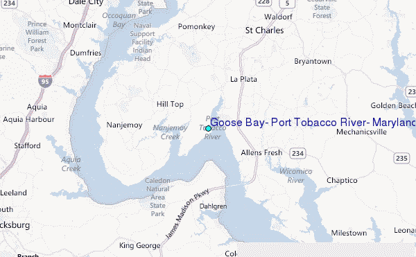
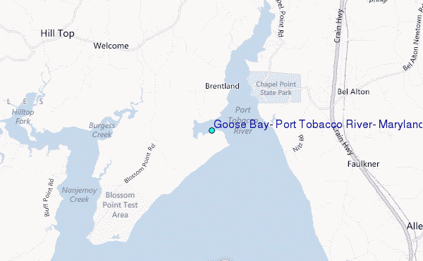
Choose Goose Bay, Port Tobacco River, Maryland Location Map Zoom:
| Contours: | Roads & Rivers: | Select a
tide station / surf break / city |
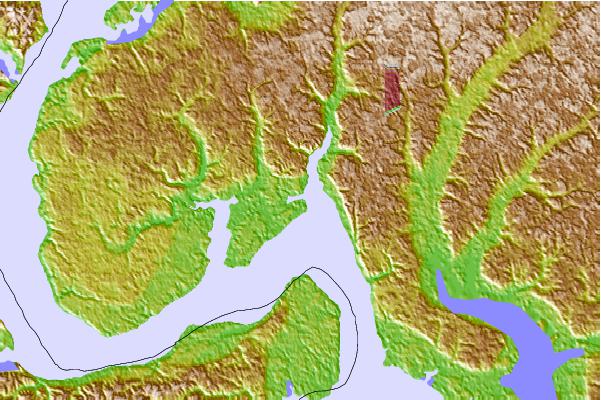
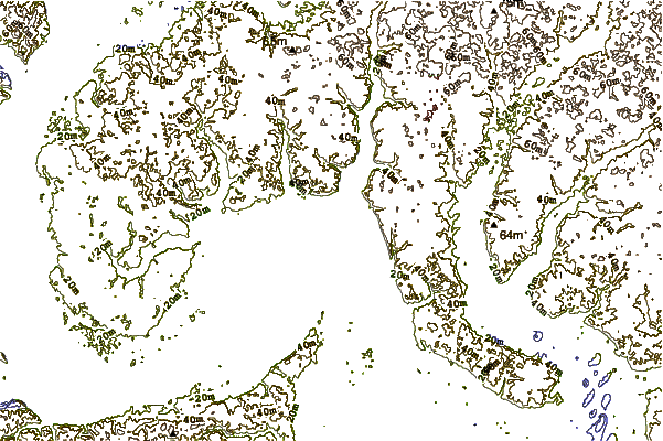
Use this relief map to navigate to tide stations, surf breaks and cities that are in the area of Goose Bay, Port Tobacco River, Maryland.
Other Nearby Locations' tide tables and tide charts to Goose Bay, Port Tobacco River, Maryland:
click location name for more details
 Surf breaks close to Goose Bay, Port Tobacco River, Maryland:
|
||
|---|---|---|
| Closest surf break | Chincoteague | 101 mi |
| Second closest surf break | Out Front | 101 mi |
| Third closest surf break | Grandview | 103 mi |
| Fourth closest surf break | Assateague | 104 mi |
| Fifth closest surf break | North Assateague (The Wedge) | 106 mi |

 Nearest
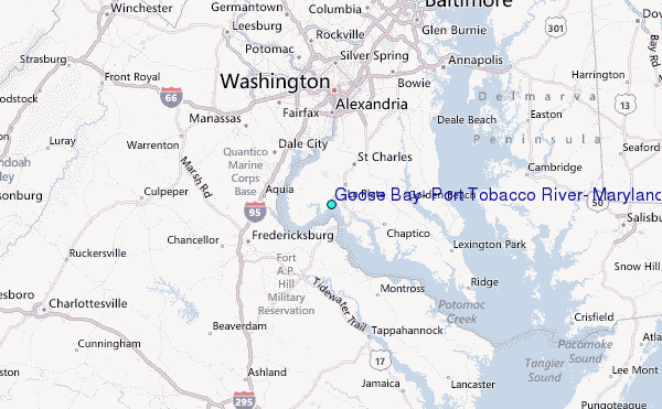