
| Distance / Altitude | Location | Report Date / Time | Live Weather | Wind | Gusts | Temp. | Visibility | Cloud |
|---|---|---|---|---|---|---|---|---|
| 34 km NE / 1 m | Saint Albans (Canada) | 2024-04-28 03:30 local (2024/04/28 06:00 GMT) | no report | calm (4 km/h at 250) | 4°C | - | - | |
| 43 km SE / 60 m | Sagona Island- Nfld (Canada) | 2024-04-28 03:30 local (2024/04/28 06:00 GMT) | no report | fresh winds from the N (36 km/h at 10) | 0°C | - | - | |
| 44 km SE / 13 m | Sagona Island Airport (Newfoundland) | 2024-04-28 03:30 local (2024/04/28 06:00 GMT) | - | moderate winds from the N (26 km/h at 10) | 0°C | 0.0 | ||
| 93 km SE / 1 m | Marystown wx (Canada) | 2024-04-28 05:19 local (2024/04/28 07:49 GMT) | - | calm (0 km/h at 90) | 1°C | - | - - 0 | |
| 95 km S / 3 m | SHIP1835 (Marine) | 2024-04-28 03:30 local (2024/04/28 06:00 GMT) | - (- km/h at -) | — | - |
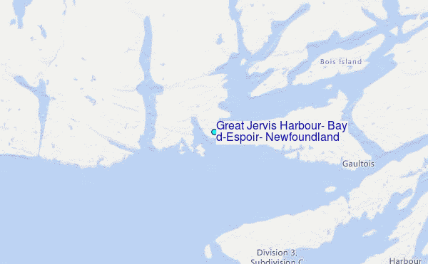
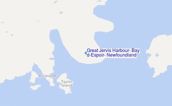
Choose Great Jervis Harbour, Bay d'Espoir, Newfoundland Location Map Zoom:
| Contours: | Roads & Rivers: | Select a
tide station / surf break / city |
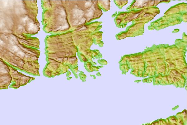
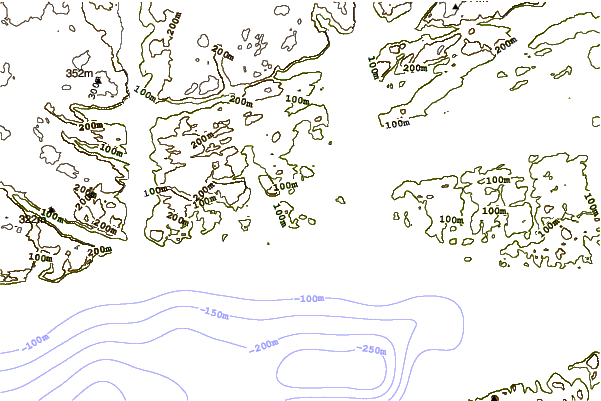
Use this relief map to navigate to tide stations, surf breaks and cities that are in the area of Great Jervis Harbour, Bay d'Espoir, Newfoundland.
Other Nearby Locations' tide tables and tide charts to Great Jervis Harbour, Bay d'Espoir, Newfoundland:
click location name for more details
 Surf breaks close to Great Jervis Harbour, Bay d'Espoir, Newfoundland:
|
||
|---|---|---|
| Closest surf break | Ingonish Beach | 209 mi |
| Second closest surf break | Kennington Cove | 221 mi |
| Third closest surf break | Michaud Point | 257 mi |
| Fourth closest surf break | Martinique | 392 mi |
| Fifth closest surf break | Lawrencetown Left Point | 400 mi |

 Nearest
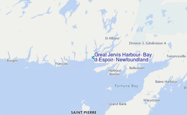