
| Distance / Altitude | Location | Report Date / Time | Live Weather | Wind | Gusts | Temp. | Visibility | Cloud |
|---|---|---|---|---|---|---|---|---|
| 25 km E / 256 m | Port-Au-prince Airport (Haiti) | 2024-04-27 08:00 local (2024/04/27 12:00 GMT) | Dry and partly cloudy | light winds from the ENE (7 km/h at 70) | — | 10.0 | few broken | |
| 138 km NNE / 2 m | Cap-haitien Airport (Haiti) | 2024-04-27 08:56 local (2024/04/27 12:56 GMT) | Dry and partly cloudy | light winds from the N (7 km/h at 10) | 25°C | 9.0 | few broken | |
| 155 km ESE / 360 m | Barahona Airport (Dominican Republic) | 2024-04-27 08:00 local (2024/04/27 12:00 GMT) | Dry and partly cloudy | calm (0 km/h at 0) | 24°C | 10.0 | scattered broken | |
| 192 km NE / 64 m | Mao (Dominican Republic) | 2024-04-27 09:15 local (2024/04/27 13:15 GMT) | dry | light winds from the ENE (6 km/h at 63) | 26°C | - | - - 0 | |
| 211 km E / 10 m | Playa Punta Salinas (Dominican Republic) | 2024-04-27 09:00 local (2024/04/27 13:00 GMT) | - | light winds from the N (9 km/h at 2) | 31°C | - | - - 0 |
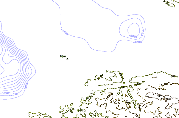
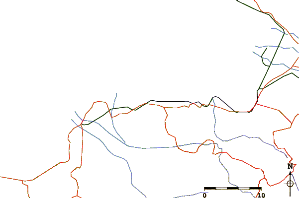
| Contours: | Roads & Rivers: | Select a
tide station / surf break / city |
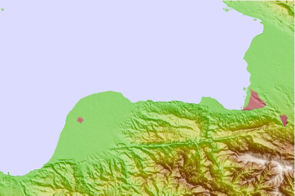
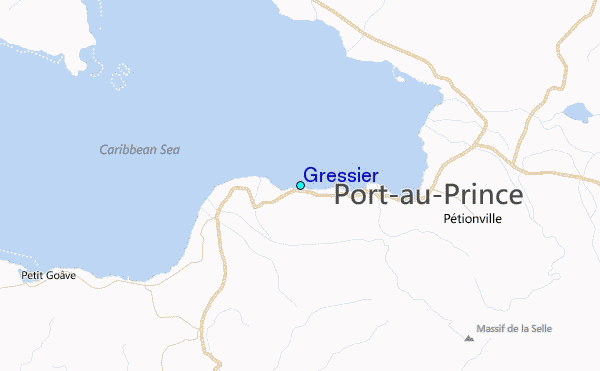
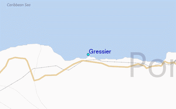
Use this relief map to navigate to tide stations, surf breaks and cities that are in the area of Gressier.
Other Nearby Locations' tide tables and tide charts to Gressier:
click location name for more details
 Surf breaks close to Gressier:
|
||
|---|---|---|
| Closest surf break | Jacmel | 23 mi |
| Second closest surf break | Bahia de las Aguilas | 74 mi |
| Third closest surf break | Paraiso | 94 mi |
| Fourth closest surf break | San Rafael | 94 mi |
| Fifth closest surf break | La Cienega | 95 mi |

 Nearest
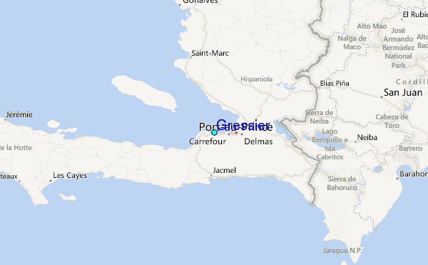