
| Distance / Altitude | Location | Report Date / Time | Live Weather | Wind | Gusts | Temp. | Visibility | Cloud |
|---|---|---|---|---|---|---|---|---|
| 39 km SSW / 4 m | Canagua Airport (Cuba) | 2024-05-05 19:50 local (2024/05/05 23:50 GMT) | Dry and partly cloudy | moderate winds from the E (22 km/h at 100) | 27°C | 9.0 | broken | |
| 89 km W / 3 m | SHIP451 (Marine) | 2024-05-05 19:00 local (2024/05/05 23:00 GMT) | - (- km/h at -) | 34°C | - | |||
| 151 km S / 212 m | Camaguey/Ignacio Agramonte Internationa Airport (Cuba) | 2024-05-05 19:50 local (2024/05/05 23:50 GMT) | Dry and partly cloudy | light winds from the NE (15 km/h at 40) | 25°C | 9.0 | broken | |
| 190 km WSW / 103 m | Santa Clara Airport (Cuba) | 2024-05-05 19:50 local (2024/05/05 23:50 GMT) | Dry and partly cloudy | moderate winds from the E (26 km/h at 90) | 26°C | 9.0 | broken | |
| 234 km NE / 12 m | Over Yonder Cay (Bahamas) | 2024-05-05 21:30 local (2024/05/06 01:30 GMT) | dry | - (- km/h at ) | — | - | - - 0 |
| Contours: | Roads & Rivers: | Select a
tide station / surf break / city |

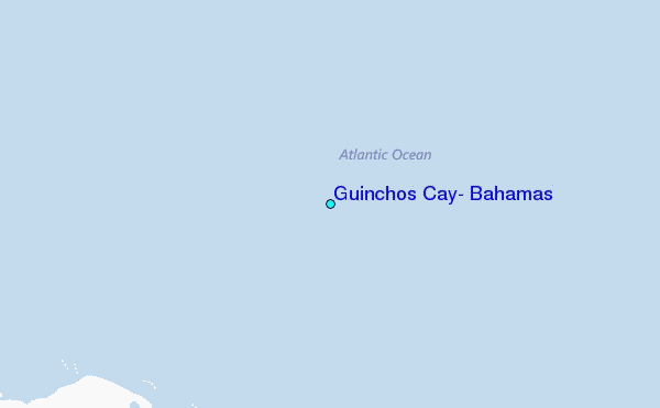
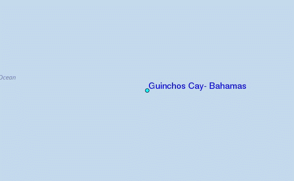
Use this relief map to navigate to tide stations, surf breaks and cities that are in the area of Guinchos Cay, Bahamas.
Other Nearby Locations' tide tables and tide charts to Guinchos Cay, Bahamas:
click location name for more details
 Surf breaks close to Guinchos Cay, Bahamas:
|
||
|---|---|---|
| Closest surf break | Paradise Island | 169 mi |
| Second closest surf break | Rock Sound | 193 mi |
| Third closest surf break | The Dump | 207 mi |
| Fourth closest surf break | Egg Island | 208 mi |
| Fifth closest surf break | Surfers Beach | 208 mi |

 Nearest
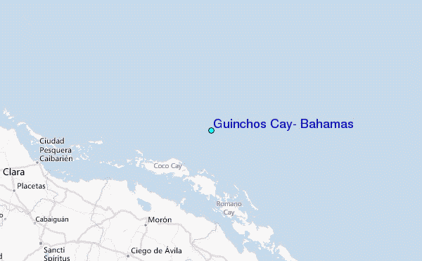