
| Distance / Altitude | Location | Report Date / Time | Live Weather | Wind | Gusts | Temp. | Visibility | Cloud |
|---|---|---|---|---|---|---|---|---|
| 8 km SSW / 0 m | Marollegat (Netherlands) | 2024-04-28 21:00 local (2024/04/28 19:00 GMT) | - | moderate winds from the SW (22 km/h at 220) | — | - | no observation | |
| 9 km SSE / 219 m | Woensdrecht Royal Netherlands Air Force Base Airport (Netherlands) | 2024-04-28 21:25 local (2024/04/28 19:25 GMT) | Dry and partly cloudy | light winds from the SW (9 km/h at 220) | 11°C | 10.0 | no cloud | |
| 10 km SSE / 16 m | Woensdrecht (Netherlands) | 2024-04-28 22:00 local (2024/04/28 20:00 GMT) | no report | light winds from the SW (11 km/h at 220) | 10°C | 45 | - clear - | |
| 20 km W / 2 m | Stavenisse (Netherlands) | 2024-04-28 22:00 local (2024/04/28 20:00 GMT) | - | light winds from the SSW (11 km/h at 210) | — | - | no observation | |
| 21 km SW / 2 m | Hansweert (Netherlands) | 2024-04-28 22:00 local (2024/04/28 20:00 GMT) | - | light winds from the SSW (14 km/h at 210) | — | - | no observation |
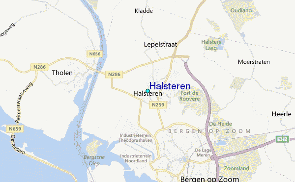
| Contours: | Roads & Rivers: | Select a
tide station / surf break / city |
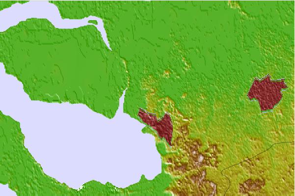

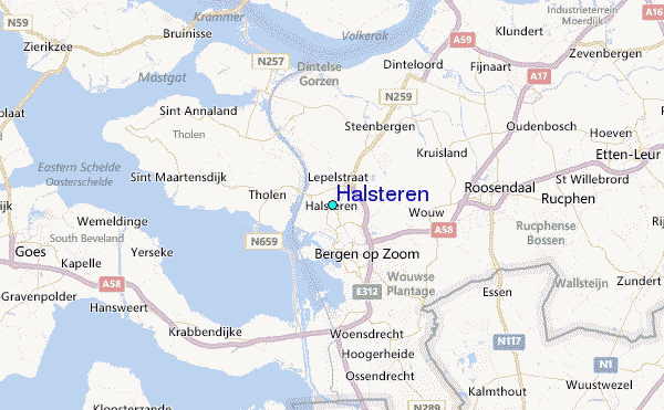
Use this relief map to navigate to tide stations, surf breaks and cities that are in the area of Halsteren.
Other Nearby Locations' tide tables and tide charts to Halsteren:
click location name for more details
 Surf breaks close to Halsteren:
|
||
|---|---|---|
| Closest surf break | Slufter | 27 mi |
| Second closest surf break | Blokken | 27 mi |
| Third closest surf break | Maasvlakte | 28 mi |
| Fourth closest surf break | Maasexpress | 31 mi |
| Fifth closest surf break | Domburg | 34 mi |

 Nearest
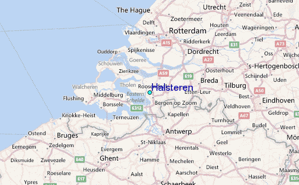