
| Distance / Altitude | Location | Report Date / Time | Live Weather | Wind | Gusts | Temp. | Visibility | Cloud |
|---|---|---|---|---|---|---|---|---|
| 217 km SSW / 12 m | Mary s Harbour- Nfld (Canada) | 2024-04-29 02:30 local (2024/04/29 05:00 GMT) | no report | light winds from the SSE (11 km/h at 160) | -2°C | - | - | |
| 217 km S / 15 m | SHIP11642 (Marine) | 2024-04-29 00:30 local (2024/04/29 03:00 GMT) | moderate winds from the E (25.92 km/h at 100) | — | - km | |||
| 220 km SSW / 217 m | Mary's Harbour Airport (Newfoundland) | 2024-04-29 01:30 local (2024/04/29 04:00 GMT) | Clear | light winds from the SE (9 km/h at 130) | -2°C | 14 | ||
| 225 km WSW / 14 m | Cartwright (Canada) | 2024-04-29 01:30 local (2024/04/29 04:00 GMT) | no report | light winds from the S (18 km/h at 190) | 6°C | 36 km | - scattered - | |
| 225 km WSW / 12 m | Cartwright Airport (Newfoundland) | 2024-04-29 01:30 local (2024/04/29 04:00 GMT) | Dry and partly cloudy | light winds from the S (19 km/h at 190) | 7°C | 14 | broken |

| Contours: | Roads & Rivers: | Select a
tide station / surf break / city |


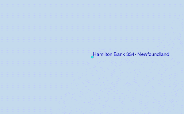
Use this relief map to navigate to tide stations, surf breaks and cities that are in the area of Hamilton Bank 334, Newfoundland.
Other Nearby Locations' tide tables and tide charts to Hamilton Bank 334, Newfoundland:
click location name for more details
 Surf breaks close to Hamilton Bank 334, Newfoundland:
|
||
|---|---|---|
| Closest surf break | Ingonish Beach | 574 mi |
| Second closest surf break | Kennington Cove | 614 mi |
| Third closest surf break | Michaud Point | 646 mi |
| Fourth closest surf break | Martinique | 758 mi |
| Fifth closest surf break | Lawrencetown Left Point | 765 mi |

 Nearest