
| Distance / Altitude | Location | Report Date / Time | Live Weather | Wind | Gusts | Temp. | Visibility | Cloud |
|---|---|---|---|---|---|---|---|---|
| 323 km SSW / 1 m | Marys Harbour (Canada) | 2024-04-27 15:30 local (2024/04/27 18:00 GMT) | - | light winds from the SE (19 km/h at 130) | 8°C | 36 km | - clear - | |
| 325 km WSW / 14 m | Cartwright (Canada) | 2024-04-27 15:30 local (2024/04/27 18:00 GMT) | no report | light winds from the W (15 km/h at 270) | 7°C | 36 km | - clear - | |
| 325 km SSW / 217 m | Mary's Harbour Airport (Newfoundland) | 2024-04-27 15:30 local (2024/04/27 18:00 GMT) | Clear | moderate winds from the SSE (20 km/h at 150) | 8°C | 14 | ||
| 326 km WSW / 12 m | Cartwright Airport (Newfoundland) | 2024-04-27 15:30 local (2024/04/27 18:00 GMT) | Clear | light winds from the W.(Wind varies from 240 to 300 degs) (17 km/h at 280) | 7°C | 14 | ||
| 371 km SSW / 10 m | St. Lunaire - Griquet (Canada) | 2024-04-27 15:50 local (2024/04/27 18:20 GMT) | dry | moderate winds from the S (24 km/h at 169) | 3°C | - | - - 0 |

| Contours: | Roads & Rivers: | Select a
tide station / surf break / city |

Use this relief map to navigate to tide stations, surf breaks and cities that are in the area of Hamilton Bank 790, Newfoundland.
Other Nearby Locations' tide tables and tide charts to Hamilton Bank 790, Newfoundland:
click location name for more details
 Surf breaks close to Hamilton Bank 790, Newfoundland:
|
||
|---|---|---|
| Closest surf break | Ingonish Beach | 635 mi |
| Second closest surf break | Kennington Cove | 672 mi |
| Third closest surf break | Michaud Point | 706 mi |
| Fourth closest surf break | Martinique | 821 mi |
| Fifth closest surf break | Lawrencetown Left Point | 828 mi |

 Nearest
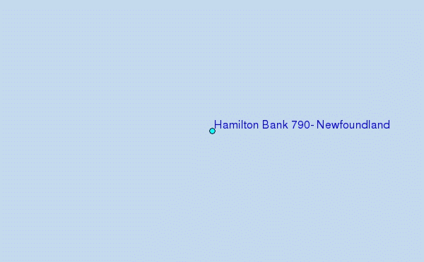