
| Distance / Altitude | Location | Report Date / Time | Live Weather | Wind | Gusts | Temp. | Visibility | Cloud |
|---|---|---|---|---|---|---|---|---|
| 9 km WSW / 101 m | Maunalani Heights wx (United States) | 2024-04-28 17:46 local (2024/04/29 03:46 GMT) | dry | calm (5 km/h at 337) | 23°C | - | - - 0 | |
| 11 km WSW / 183 m | Saint Louis Heights wx (United States) | 2024-04-28 16:46 local (2024/04/29 02:46 GMT) | dry | wind obs. (8 kph from 20 degs) was rejected (- km/h at -) | 32°C | - | - - 0 | |
| 11 km WSW / 15 m | SHIP8013 (Marine) | 2024-04-28 16:00 local (2024/04/29 02:00 GMT) | - (- km/h at -) | — | - km | |||
| 12 km N / 8 m | Lanikai Beach (United States) | 2024-04-28 17:00 local (2024/04/29 03:00 GMT) | - | moderate winds from the NE (22 km/h at 36) | 26°C | - | - - 0 | |
| 11 km WSW / 3 m | SHIP8871 (Marine) | 2024-04-28 16:00 local (2024/04/29 02:00 GMT) | - (- km/h at -) | 34°C | - |
| Contours: | Roads & Rivers: | Select a
tide station / surf break / city |
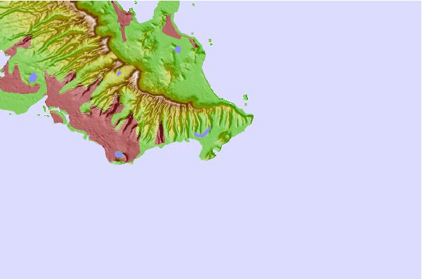
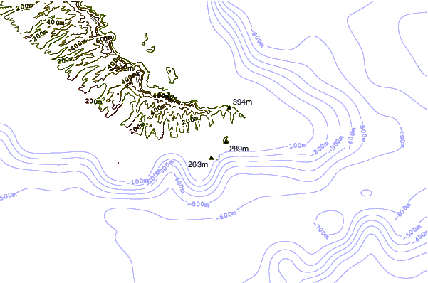
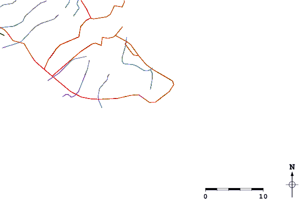
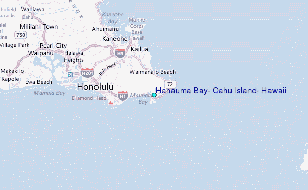
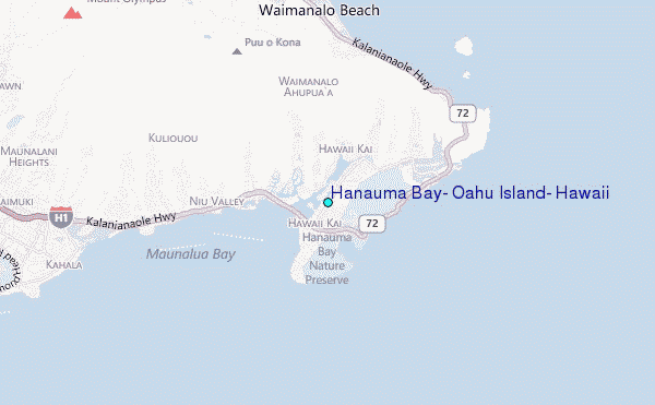
Use this relief map to navigate to tide stations, surf breaks and cities that are in the area of Hanauma Bay, Oahu Island, Hawaii.
Other Nearby Locations' tide tables and tide charts to Hanauma Bay, Oahu Island, Hawaii:
click location name for more details
 Surf breaks close to Hanauma Bay, Oahu Island, Hawaii:
|
||
|---|---|---|
| Closest surf break | China Walls | 1 mi |
| Second closest surf break | Middles/Generals | 2 mi |
| Third closest surf break | Pipelittle | 2 mi |
| Fourth closest surf break | Sandy Beach | 2 mi |
| Fifth closest surf break | Sandy Beach | 2 mi |

 Nearest
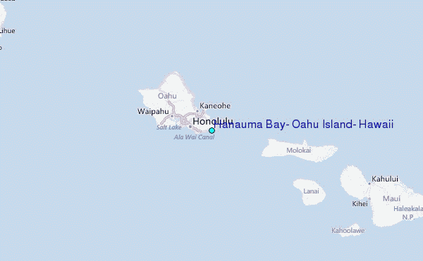