
| Distance / Altitude | Location | Report Date / Time | Live Weather | Wind | Gusts | Temp. | Visibility | Cloud |
|---|---|---|---|---|---|---|---|---|
| 11 km S / 13 m | Sagona Island Airport (Newfoundland) | 2024-04-27 03:30 local (2024/04/27 06:00 GMT) | - | light winds from the N (15 km/h at 10) | 0°C | 0.0 | ||
| 58 km SE / 1 m | Marystown wx (Canada) | 2024-04-27 04:19 local (2024/04/27 06:49 GMT) | - | calm (0 km/h at 315) | -1°C | - | - - 0 | |
| 80 km S / 15 m | SHIP6319 (Marine) | 2024-04-27 03:30 local (2024/04/27 06:00 GMT) | - (- km/h at -) | — | - km | |||
| 83 km S / 7 m | Saint-Pierre (Saint Pierre and Miquelon) | 2024-04-27 04:30 local (2024/04/27 07:00 GMT) | Clear skies | light winds from the NW (17 km/h at 310) | -2°C | 55 km | no observation | |
| 137 km E / 216 m | Argentia Airport (Newfoundland) | 2024-04-27 03:30 local (2024/04/27 06:00 GMT) | - | light winds from the SSW (9 km/h at 210) | 0°C | 0.0 |
| Contours: | Roads & Rivers: | Select a
tide station / surf break / city |
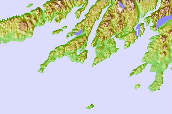
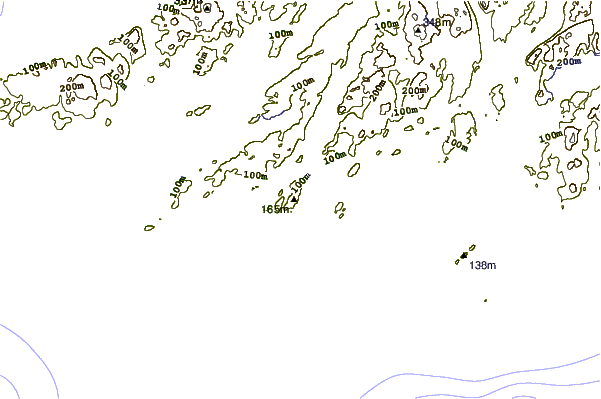
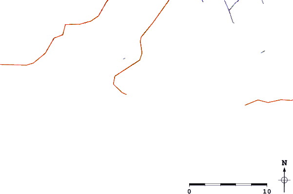
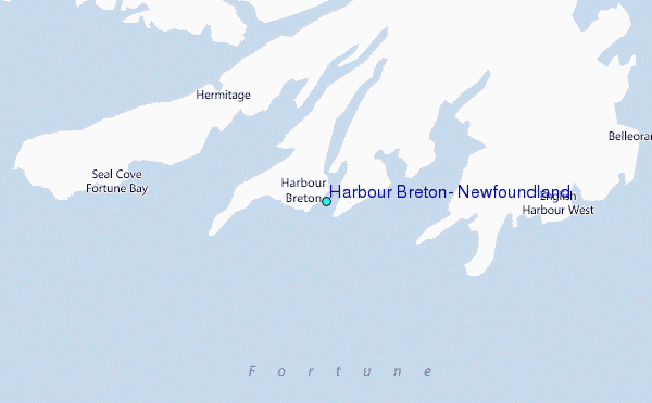
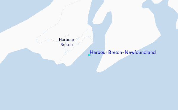
Use this relief map to navigate to tide stations, surf breaks and cities that are in the area of Harbour Breton, Newfoundland.
Other Nearby Locations' tide tables and tide charts to Harbour Breton, Newfoundland:
click location name for more details
 Surf breaks close to Harbour Breton, Newfoundland:
|
||
|---|---|---|
| Closest surf break | Ingonish Beach | 224 mi |
| Second closest surf break | Kennington Cove | 230 mi |
| Third closest surf break | Michaud Point | 267 mi |
| Fourth closest surf break | Martinique | 401 mi |
| Fifth closest surf break | Lawrencetown Left Point | 410 mi |

 Nearest
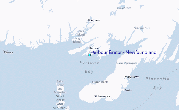