
| Distance / Altitude | Location | Report Date / Time | Live Weather | Wind | Gusts | Temp. | Visibility | Cloud |
|---|---|---|---|---|---|---|---|---|
| 22 km SSW / 218 m | Astoria Airport (Oregon) | 2024-04-28 04:55 local (2024/04/28 11:55 GMT) | Light rain | light winds from the SW (9 km/h at 220) | 9°C | 16 | few broken overcast | |
| 32 km W / 5 m | Long Beach wx (United States) | 2024-04-28 05:42 local (2024/04/28 12:42 GMT) | dry | calm (2 km/h at 282) | 8°C | - | - - 0 | |
| 37 km WSW / 3 m | Clatsop Spit- OR (Marine) | 2024-04-28 05:56 local (2024/04/28 12:56 GMT) | - (- km/h at -) | — | - | |||
| 55 km NW / 3 m | BUOY-TOKW1 (Marine) | 2024-04-28 05:48 local (2024/04/28 12:48 GMT) | light winds from the W (17 km/h at 270) | — | - | |||
| 57 km ESE / 3 m | BUOY-LOPW1 (Marine) | 2024-04-28 05:48 local (2024/04/28 12:48 GMT) | - (- km/h at -) | — | - |
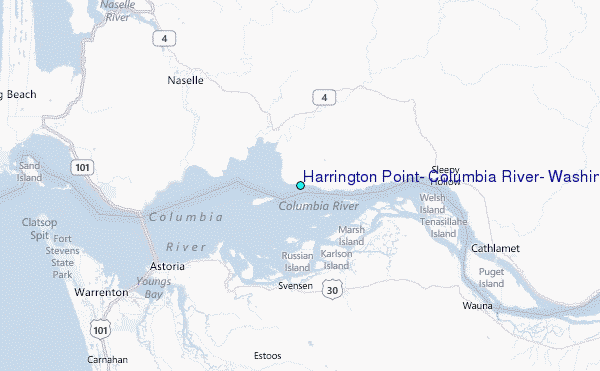
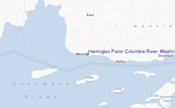
Choose Harrington Point, Columbia River, Washington Location Map Zoom:
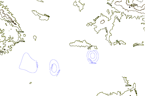
| Contours: | Roads & Rivers: | Select a
tide station / surf break / city |
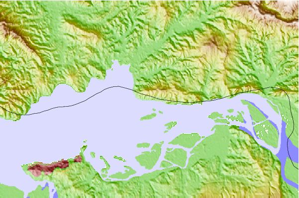
Use this relief map to navigate to tide stations, surf breaks and cities that are in the area of Harrington Point, Columbia River, Washington.
Other Nearby Locations' tide tables and tide charts to Harrington Point, Columbia River, Washington:
click location name for more details
 Surf breaks close to Harrington Point, Columbia River, Washington:
|
||
|---|---|---|
| Closest surf break | Turtles | 19 mi |
| Second closest surf break | Fort Canby A Jetty | 21 mi |
| Third closest surf break | Seaside Cove | 24 mi |
| Fourth closest surf break | Ocean Park | 25 mi |
| Fifth closest surf break | Seaside Point | 26 mi |

 Nearest
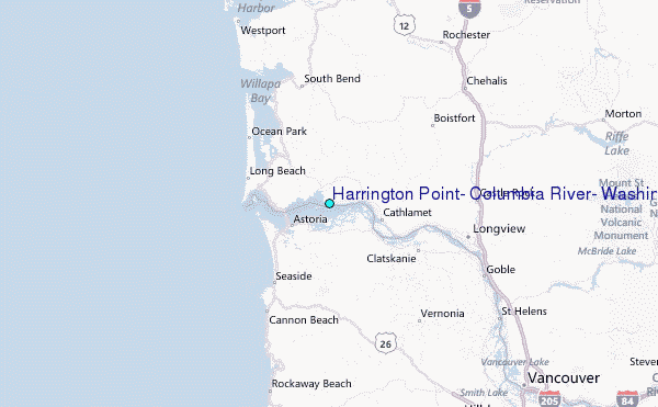