
| Distance / Altitude | Location | Report Date / Time | Live Weather | Wind | Gusts | Temp. | Visibility | Cloud |
|---|---|---|---|---|---|---|---|---|
| 50 km NE / - m | SHIP7455 (ocean) | 2024-04-28 18:00 local (2024/04/29 01:00 GMT) | - | moderate winds from the SSW (22 km/h at 210) | 8°C | - | no observation | |
| 52 km NNE / 3 m | Nanakwa Shoal Buoy (Marine) | 2024-04-28 19:00 local (2024/04/29 02:00 GMT) | moderate winds from the SW (22 km/h at 230) | 7°C | - | |||
| 79 km NNE / 11 m | Kitimat (British Columbia) | 2024-04-28 19:02 local (2024/04/29 02:02 GMT) | dry | calm (5 km/h at 97) | 7°C | - | - - 0 | |
| 81 km NNE / 78 m | Nechako wx (Canada) | 2024-04-28 19:07 local (2024/04/29 02:07 GMT) | dry | wind obs. (13 kph from 154 degs) was rejected (- km/h at -) | 7°C | - | - - 0 | |
| 91 km WSW / 17 m | Bonilla Island Airport (British columbia) | 2024-04-28 18:00 local (2024/04/29 01:00 GMT) | - | light winds from the S (9 km/h at 170) | 8°C | 0.0 |
| Contours: | Roads & Rivers: | Select a
tide station / surf break / city |
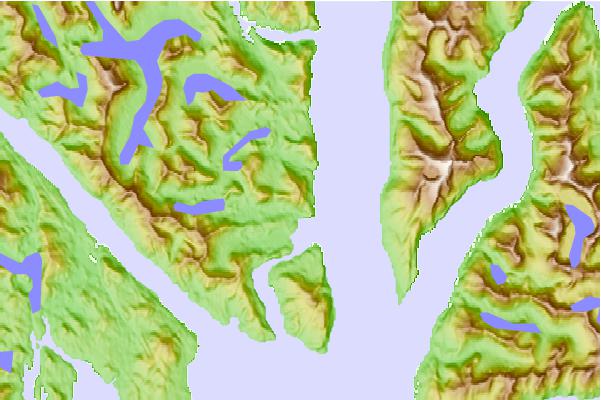
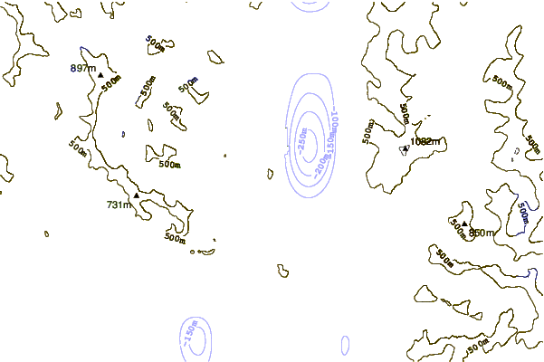
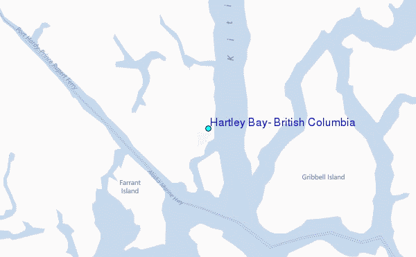
Use this relief map to navigate to tide stations, surf breaks and cities that are in the area of Hartley Bay, British Columbia.
Other Nearby Locations' tide tables and tide charts to Hartley Bay, British Columbia:
click location name for more details
 Surf breaks close to Hartley Bay, British Columbia:
|
||
|---|---|---|
| Closest surf break | Tow Hill Beach | 113 mi |
| Second closest surf break | Lepus Beach (Haida-Gwaii) | 163 mi |
| Third closest surf break | Nootka Island (Calvin Bay) | 281 mi |
| Fourth closest surf break | Tofino (North Chestermans Beach) | 331 mi |
| Fifth closest surf break | South Chesterman Beach | 333 mi |

 Nearest
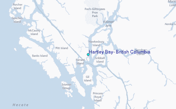