
| Distance / Altitude | Location | Report Date / Time | Live Weather | Wind | Gusts | Temp. | Visibility | Cloud |
|---|---|---|---|---|---|---|---|---|
| 6 km SE / 4 m | ThorneyIsland (United Kingdom) | 2024-04-28 00:00 local (2024/04/27 23:00 GMT) | continuous light rain | moderate winds from the NE (26 km/h at 40) | 9°C | 5 | - overcast - | |
| 12 km ESE / 7 m | Chichester (United Kingdom) | 2024-04-28 00:05 local (2024/04/27 23:05 GMT) | dry | light winds from the NE (8 km/h at 45) | 9°C | - | - - 0 | |
| 13 km S / 3 m | Hayling Island Waverider (Marine) | 2024-04-27 22:55 local (2024/04/27 21:55 GMT) | - (- km/h at -) | — | - | |||
| 15 km NW / 230 m | Mercury (United Kingdom) | 2024-04-28 00:00 local (2024/04/27 23:00 GMT) | - | fresh winds from the NE (31 km/h at 48) | 7°C | - | - - 0 | |
| 17 km SE / 3 m | Bracklesham Bay Waverider (Marine) | 2024-04-27 22:48 local (2024/04/27 21:48 GMT) | - (- km/h at -) | — | - |
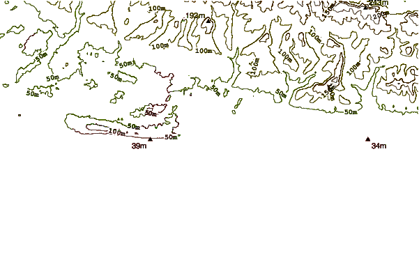
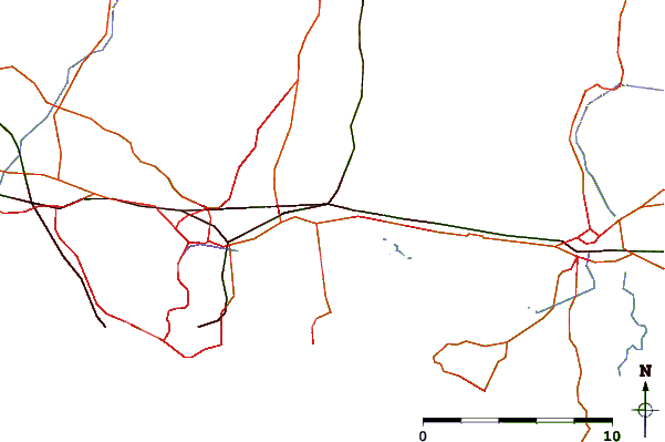
| Contours: | Roads & Rivers: | Select a
tide station / surf break / city |
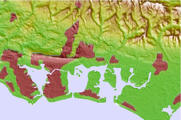
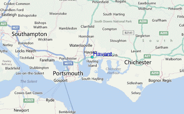
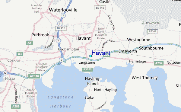
Use this relief map to navigate to tide stations, surf breaks and cities that are in the area of Havant.
Other Nearby Locations' tide tables and tide charts to Havant:
click location name for more details
 Surf breaks close to Havant:
|
||
|---|---|---|
| Closest surf break | Hayling Island | 5 mi |
| Second closest surf break | West Wittering | 6 mi |
| Third closest surf break | East Wittering | 7 mi |
| Fourth closest surf break | Bracklesham | 8 mi |
| Fifth closest surf break | Whitecliff Bay | 14 mi |

 Nearest
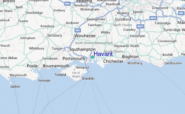