
| Distance / Altitude | Location | Report Date / Time | Live Weather | Wind | Gusts | Temp. | Visibility | Cloud |
|---|---|---|---|---|---|---|---|---|
| 111 km W / 0 m | Sandy Point (Turks and Caicos Islands) | 2024-05-03 18:42 local (2024/05/03 22:42 GMT) | dry | light winds from the ENE (13 km/h at 72) | — | - | - - 0 | |
| 125 km W / 296 m | Providenciales Airport (Bahamas) | 2024-05-03 19:00 local (2024/05/03 23:00 GMT) | Dry and partly cloudy | light winds from the E (15 km/h at 90) | 28°C | 10.0 | scattered | |
| 125 km W / 1 m | Providenciales (Turks and Caicos Islands) | 2024-05-03 19:00 local (2024/05/03 23:00 GMT) | - | light winds from the NE (19 km/h at 40) | 26°C | 40 km | scattered | |
| 146 km ENE / 3 m | SHIP1117 (Marine) | 2024-05-03 18:00 local (2024/05/03 22:00 GMT) | - (- km/h at -) | 26°C | - | |||
| 196 km SSE / 96 m | Puerto Plata IN Airport (Dominican Republic) | 2024-05-03 17:00 local (2024/05/03 21:00 GMT) | - | moderate winds from the E (22 km/h at 100) | 29°C | 36 km | - scattered - |
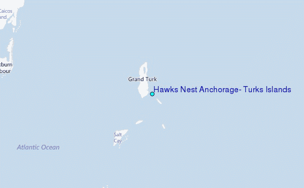
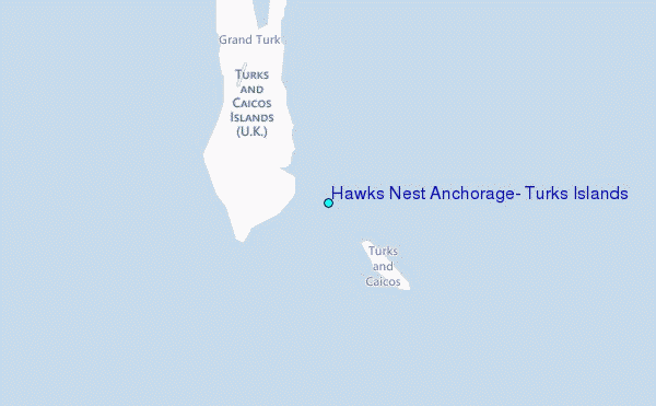
Choose Hawks Nest Anchorage, Turks Islands Location Map Zoom:
| Contours: | Roads & Rivers: | Select a
tide station / surf break / city |
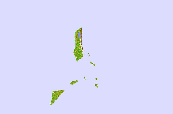
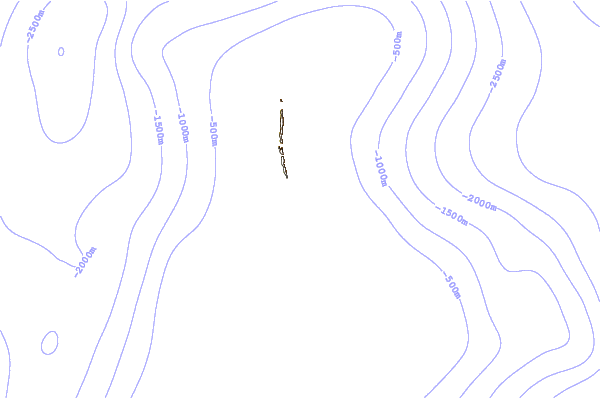
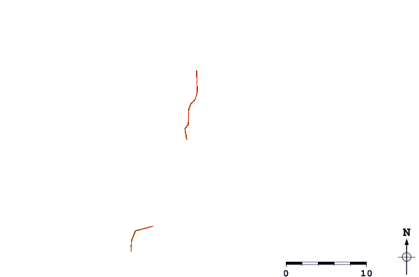
Use this relief map to navigate to tide stations, surf breaks and cities that are in the area of Hawks Nest Anchorage, Turks Islands.
Other Nearby Locations' tide tables and tide charts to Hawks Nest Anchorage, Turks Islands:
click location name for more details
 Surf breaks close to Hawks Nest Anchorage, Turks Islands:
|
||
|---|---|---|
| Closest surf break | Mudjin Harbour (Middle-Caicos) | 53 mi |
| Second closest surf break | Pine Cay Shorebreak | 70 mi |
| Third closest surf break | Fort George Cut (Pine Cay) | 72 mi |
| Fourth closest surf break | Grace Bay Cut (Providenciales) | 75 mi |
| Fifth closest surf break | Tea Break | 113 mi |

 Nearest
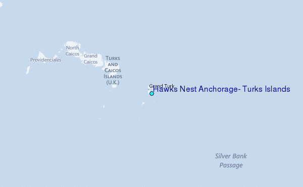