
| Distance / Altitude | Location | Report Date / Time | Live Weather | Wind | Gusts | Temp. | Visibility | Cloud |
|---|---|---|---|---|---|---|---|---|
| 0 km ENE / 1 m | Herschel Island- YT (Canada) | 2024-04-28 00:00 local (2024/04/28 06:00 GMT) | no report | calm (4 km/h at 130) | — | - | - - - | |
| 50 km WSW / 216 m | Komakuk Beach Airport (Yukon Territory) | 2024-04-28 00:00 local (2024/04/28 06:00 GMT) | - | fresh winds from the ESE (30 km/h at 110) | -16°C | 0 | ||
| 136 km E / 17 m | Pelly Island- Nwt (Canada) | 2024-04-28 00:00 local (2024/04/28 06:00 GMT) | no report | light winds from the N (14 km/h at 360) | -15°C | - | - | |
| 136 km E / 2 m | Pelly Island Airport (Canada) | 2024-04-28 00:00 local (2024/04/28 06:00 GMT) | - | light winds from the N (17 km/h at 360) | -16°C | 0.0 | ||
| 192 km W / 192 m | Barter Island Airport (Alaska) | 2024-04-27 23:52 local (2024/04/28 05:52 GMT) | Light snow | fresh winds from the E (35 km/h at 90) | -13°C | 14 | overcast |
| Contours: | Roads & Rivers: | Select a
tide station / surf break / city |
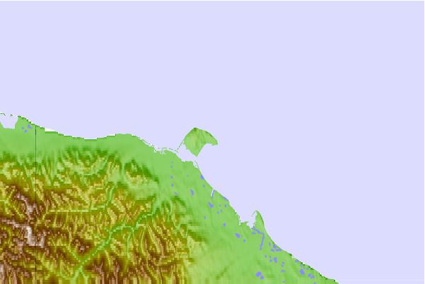
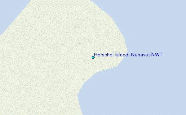
Use this relief map to navigate to tide stations, surf breaks and cities that are in the area of Herschel Island, Nunavut/NWT.
Other Nearby Locations' tide tables and tide charts to Herschel Island, Nunavut/NWT:
click location name for more details
 Surf breaks close to Herschel Island, Nunavut/NWT:
|
||
|---|---|---|
| Closest surf break | Graveyards | 693 mi |
| Second closest surf break | Ocean Cape | 694 mi |
| Third closest surf break | Cannon Beach | 696 mi |
| Fourth closest surf break | Bird Point (Tidal Bore) | 708 mi |
| Fifth closest surf break | Termination Point | 904 mi |

 Nearest
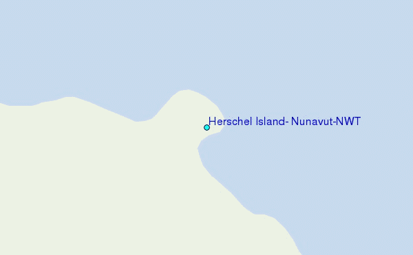