
| Distance / Altitude | Location | Report Date / Time | Live Weather | Wind | Gusts | Temp. | Visibility | Cloud |
|---|---|---|---|---|---|---|---|---|
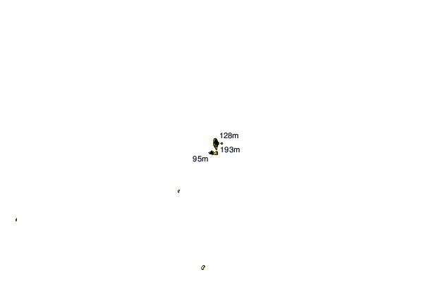
| 53 km WNW / 209 m | MiddlePercyIsland (Australia) | 2024-04-29 09:00 local (2024/04/28 23:00 GMT) | no report | fresh winds from the SE (35 km/h at 130) | 24°C | - | - no observation - | |
| 78 km SSW / 28 m | Williamson (Australia) | 2024-04-29 09:00 local (2024/04/28 23:00 GMT) | No report | light winds from the SSE (11 km/h at 160) | 22°C | - | no observation | |
| 86 km S / 240 m | Samuel Hill Aerodrome (Australia) | 2024-04-29 10:00 local (2024/04/29 00:00 GMT) | Moderate to heavy rain showers | light winds from the N (15 km/h at 10) | 22°C | - | - overcast - | |
| 127 km SW / 10 m | St. Lawrence (Australia) | 2024-04-29 09:00 local (2024/04/28 23:00 GMT) | no report | light winds from the E (15 km/h at 80) | 23°C | - | - no observation - | |
| 132 km S / 6 m | Yeppoon (Australia) | 2024-04-29 09:00 local (2024/04/28 23:00 GMT) | no report | moderate winds from the SSE (20 km/h at 150) | 24°C | - | - no observation - |
| Contours: | Roads & Rivers: | Select a
tide station / surf break / city |
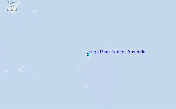
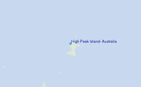
Use this relief map to navigate to tide stations, surf breaks and cities that are in the area of High Peak Island, Australia.
Other Nearby Locations' tide tables and tide charts to High Peak Island, Australia:
click location name for more details
 Surf breaks close to High Peak Island, Australia:
|
||
|---|---|---|
| Closest surf break | South Wall Mackay Harbour | 110 mi |
| Second closest surf break | North Wall Mackay Harbour Beach | 111 mi |
| Third closest surf break | Lamberts Beach | 111 mi |
| Fourth closest surf break | Dolphin Heads | 116 mi |
| Fifth closest surf break | Eimeo Point | 116 mi |

 Nearest
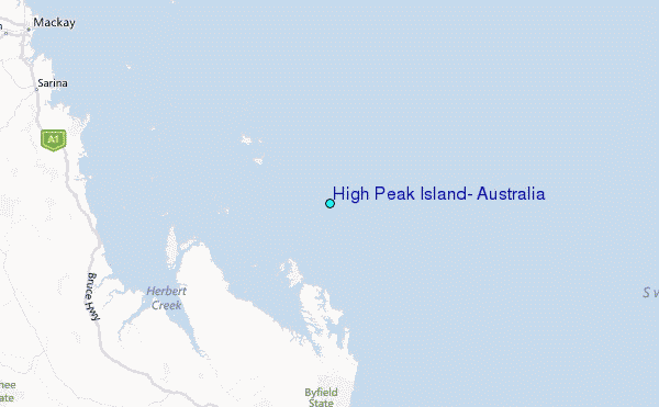