
| Distance / Altitude | Location | Report Date / Time | Live Weather | Wind | Gusts | Temp. | Visibility | Cloud |
|---|---|---|---|---|---|---|---|---|
| 51 km ENE / 15 m | ASCATB127E9N (Marine) | 2024-05-07 08:44 local (2024/05/07 00:44 GMT) | light winds from the E (9 km/h at 82) | — | - km | |||
| 113 km N / 15 m | ASCATB126E9N (Marine) | 2024-05-07 08:44 local (2024/05/07 00:44 GMT) | light winds from the ENE (13 km/h at 67) | — | - km | |||
| 119 km SE / 15 m | ASCATB127E8N (Marine) | 2024-05-07 08:44 local (2024/05/07 00:44 GMT) | light winds from the NE (14 km/h at 48) | — | - km | |||
| 131 km ESE / 15 m | ASCATB128E8N (Marine) | 2024-05-07 08:44 local (2024/05/07 00:44 GMT) | light winds from the ENE (12 km/h at 66) | — | - km | |||
| 138 km N / 15 m | ASCATB127E10N (Marine) | 2024-05-07 08:44 local (2024/05/07 00:44 GMT) | light winds from the ENE (12 km/h at 71) | — | - km |
| Contours: | Roads & Rivers: | Select a
tide station / surf break / city |
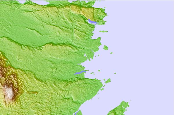
Use this relief map to navigate to tide stations, surf breaks and cities that are in the area of Hinatuan.
Other Nearby Locations' tide tables and tide charts to Hinatuan:
click location name for more details
 Surf breaks close to Hinatuan:
|
||
|---|---|---|
| Closest surf break | Tago River | 44 mi |
| Second closest surf break | Marami Beach | 52 mi |
| Third closest surf break | Big Star | 63 mi |
| Fourth closest surf break | Lanuza Rivermouth | 63 mi |
| Fifth closest surf break | Moshi-Moshi | 63 mi |

 Nearest