
| Distance / Altitude | Location | Report Date / Time | Live Weather | Wind | Gusts | Temp. | Visibility | Cloud |
|---|---|---|---|---|---|---|---|---|
| 10 km WSW / - m | SHIP8462 (ocean) | 2024-04-27 17:00 local (2024/04/27 21:00 GMT) | - | light winds from the ESE (18 km/h at 120) | 17°C | - | no observation | |
| 10 km WSW / - m | SHIP5386 (ocean) | 2024-04-27 17:00 local (2024/04/27 21:00 GMT) | - | moderate winds from the SE (22 km/h at 130) | 17°C | - | no observation | |
| 10 km WSW / - m | SHIP9094 (ocean) | 2024-04-27 19:00 local (2024/04/27 23:00 GMT) | - | moderate winds from the SE (25 km/h at 130) | 16°C | - | no observation | |
| 10 km WSW / - m | SHIP5125 (ocean) | 2024-04-27 17:00 local (2024/04/27 21:00 GMT) | - | moderate winds from the SE (22 km/h at 130) | 17°C | - | no observation | |
| 10 km WSW / - m | SHIP5858 (ocean) | 2024-04-27 17:00 local (2024/04/27 21:00 GMT) | - | light winds from the SE (18 km/h at 130) | 18°C | - | no observation |
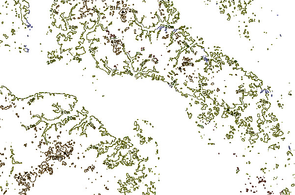
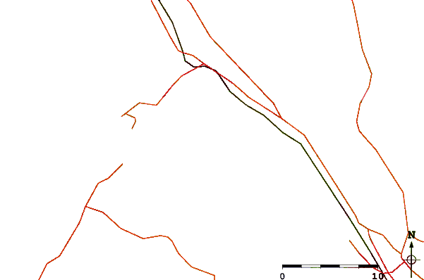
| Contours: | Roads & Rivers: | Select a
tide station / surf break / city |
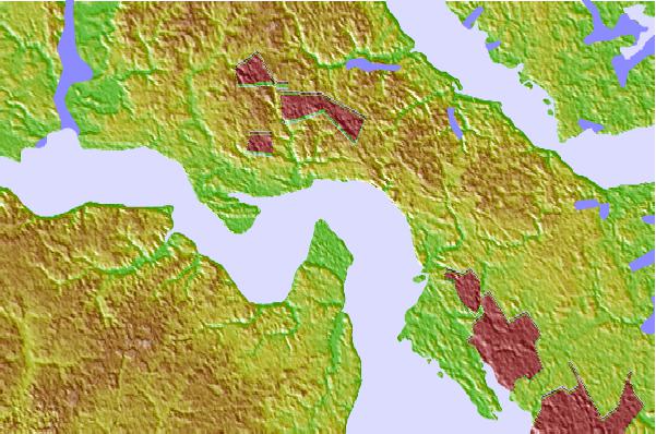
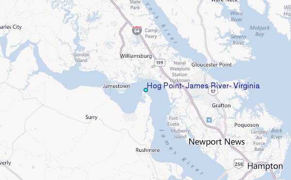
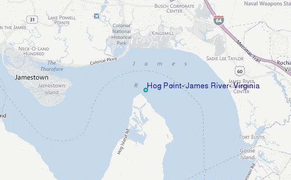
Use this relief map to navigate to tide stations, surf breaks and cities that are in the area of Hog Point, James River, Virginia.
Other Nearby Locations' tide tables and tide charts to Hog Point, James River, Virginia:
click location name for more details
 Surf breaks close to Hog Point, James River, Virginia:
|
||
|---|---|---|
| Closest surf break | Grandview | 24 mi |
| Second closest surf break | Fishermans Island | 41 mi |
| Third closest surf break | North End | 42 mi |
| Fourth closest surf break | 81st Street | 44 mi |
| Fifth closest surf break | 42nd St VA Beach | 45 mi |

 Nearest
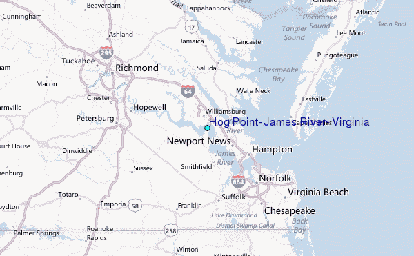