
| Distance / Altitude | Location | Report Date / Time | Live Weather | Wind | Gusts | Temp. | Visibility | Cloud |
|---|---|---|---|---|---|---|---|---|
| 3 km NW / 30 m | HolmanCs-Nwt (Canada) | 2024-04-28 03:00 local (2024/04/28 09:00 GMT) | - | light winds from the N (15 km/h at 0) | -15°C | - | no observation | |
| 245 km SSW / 616 m | Tuktut Nogait Airport (N.w. Territories) | 2024-04-28 02:00 local (2024/04/28 08:00 GMT) | - | light winds from the SW (6 km/h at 230) | -23°C | 0.0 | ||
| 246 km SSW / 552 m | TuktutNogait-Nwt (Canada) | 2024-04-28 03:00 local (2024/04/28 09:00 GMT) | no report | calm (4 km/h at 230) | -23°C | - | - no observation - | |
| 285 km NW / 42 m | ThomsenRiver-Nwt (Canada) | 2024-04-28 03:00 local (2024/04/28 09:00 GMT) | no report | moderate winds from the WNW (22 km/h at 300) | -17°C | - | - no observation - | |
| 286 km SW / 6 m | Paulatuk- Nwt (Canada) | 2024-04-28 03:00 local (2024/04/28 09:00 GMT) | no report | calm (0 km/h at 0) | -16°C | - | - no observation - |

| Contours: | Roads & Rivers: | Select a
tide station / surf break / city |
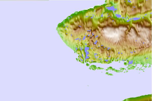
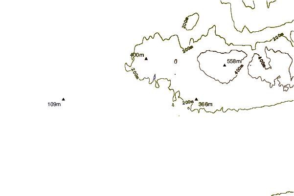
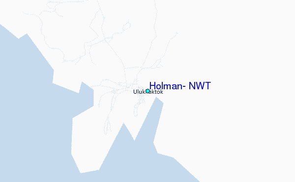
Use this relief map to navigate to tide stations, surf breaks and cities that are in the area of Holman, N.W.T.
Other Nearby Locations' tide tables and tide charts to Holman, N.W.T:
click location name for more details
 Surf breaks close to Holman, N.W.T:
|
||
|---|---|---|
| Closest surf break | Graveyards | 993 mi |
| Second closest surf break | Ocean Cape | 994 mi |
| Third closest surf break | Cannon Beach | 994 mi |
| Fourth closest surf break | Bird Point (Tidal Bore) | 1157 mi |
| Fifth closest surf break | Tow Hill Beach | 1229 mi |

 Nearest
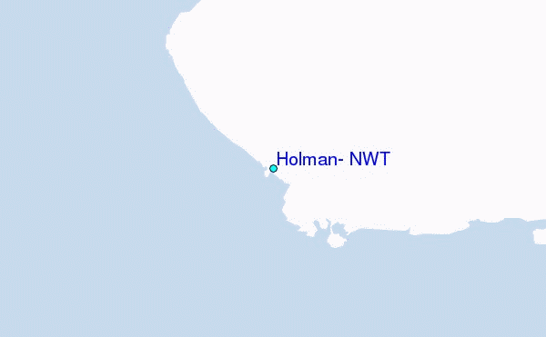