
| Distance / Altitude | Location | Report Date / Time | Live Weather | Wind | Gusts | Temp. | Visibility | Cloud |
|---|---|---|---|---|---|---|---|---|
| 2 km SE / 3 m | SHIP475 (Marine) | 2024-04-27 14:00 local (2024/04/27 13:00 GMT) | - (- km/h at -) | 11°C | - | |||
| 9 km SE / 11 m | Valley (United Kingdom) | 2024-04-27 16:00 local (2024/04/27 15:00 GMT) | no report | moderate winds from the NE (26 km/h at 50) | 11°C | 40 km | - clear - | |
| 10 km SE / 215 m | Valley RAF Airport (United Kingdom) | 2024-04-27 15:20 local (2024/04/27 14:20 GMT) | Dry and partly cloudy | moderate winds from the NE (24 km/h at 50) | 12°C | 10.0 | no cloud | |
| 17 km ESE / 60 m | Mona (United Kingdom) | 2024-04-27 16:00 local (2024/04/27 15:00 GMT) | - | moderate winds from the NE (24 km/h at 40) | 11°C | 44 km | few | |
| 31 km SE / 4 m | Caernarfon Airport (United Kingdom) | 2024-04-27 15:20 local (2024/04/27 14:20 GMT) | Dry and partly cloudy | fresh winds from the NNE (31 km/h at 30) | 12°C | 10.0 | scattered |
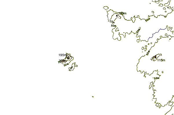
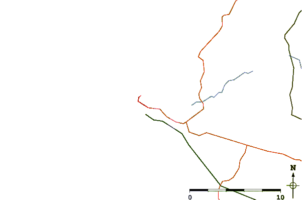
| Contours: | Roads & Rivers: | Select a
tide station / surf break / city |
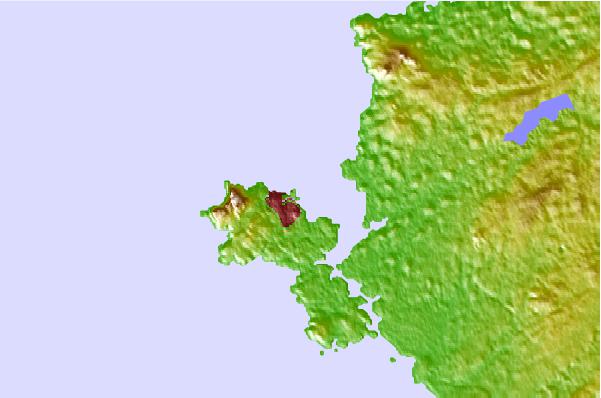
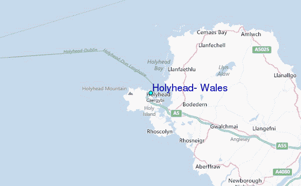
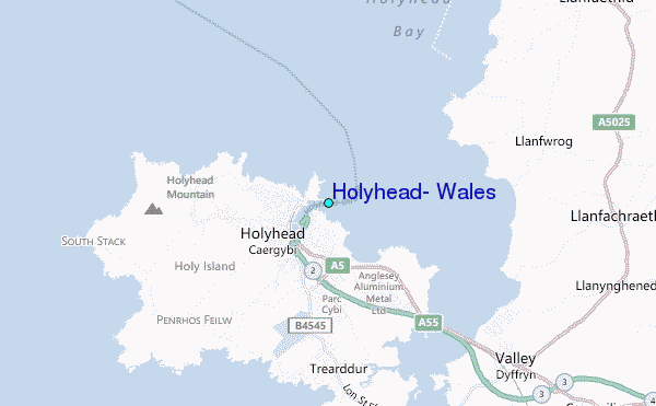
Use this relief map to navigate to tide stations, surf breaks and cities that are in the area of Holyhead, Wales.
Other Nearby Locations' tide tables and tide charts to Holyhead, Wales:
click location name for more details
 Surf breaks close to Holyhead, Wales:
|
||
|---|---|---|
| Closest surf break | Trearddur Bay (Holy Island) | 2 mi |
| Second closest surf break | Silver Bay (Holy Island) | 4 mi |
| Third closest surf break | Church Bay | 4 mi |
| Fourth closest surf break | Porth Nobla | 7 mi |
| Fifth closest surf break | Rhosneigr | 7 mi |

 Nearest
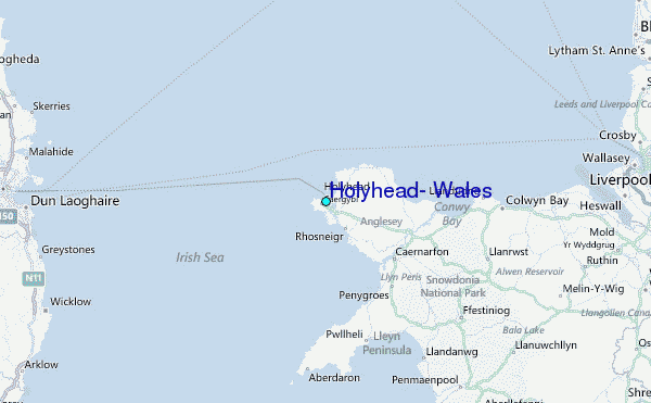