
| Distance / Altitude | Location | Report Date / Time | Live Weather | Wind | Gusts | Temp. | Visibility | Cloud |
|---|---|---|---|---|---|---|---|---|
| 39 km SW / 4 m | Cat Bi International Airport (Vietnam) | 2024-05-02 03:30 local (2024/05/01 20:30 GMT) | Light rain | light winds from the NE (15 km/h at 50) | 26°C | 10.0 | broken broken broken | |
| 102 km NW / 217 m | Lang Son (Viet-nam) | 2024-05-02 04:00 local (2024/05/01 21:00 GMT) | Rain showers | calm (0 km/h at 0) | 20°C | 10 km | overcast | |
| 134 km WSW / 218 m | Hanoi/Noibai International Airport (Viet Nam) | 2024-05-02 03:30 local (2024/05/01 20:30 GMT) | Light rain | light winds from the ENE.(Wind varies from 010 to 070 degs) (13 km/h at 60) | 22°C | 10.0 | scattered scattered broken | |
| 185 km SSW / 218 m | Thanh Hoa (Viet-nam) | 2024-05-02 04:00 local (2024/05/01 21:00 GMT) | Intermittent light rain | calm (0 km/h at 0) | 26°C | 10 km | overcast | |
| 195 km NE / 217 m | Qinzhou ( 钦州) (Peoples Republic Of China) | 2024-05-02 03:00 local (2024/05/01 20:00 GMT) | no report | light winds from the NNW (11 km/h at 340) | 22°C | 14 | - |
| Contours: | Roads & Rivers: | Select a
tide station / surf break / city |
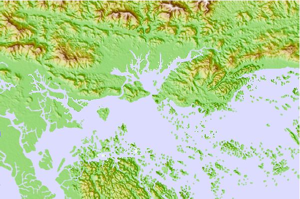
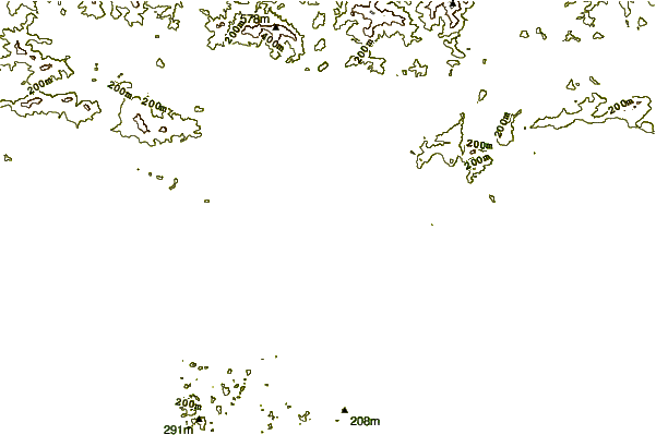
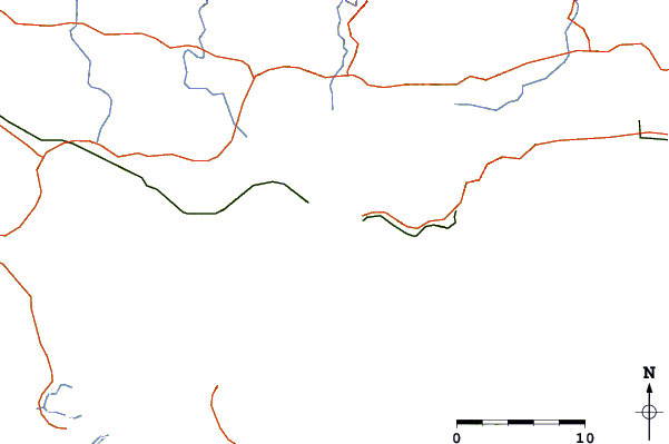
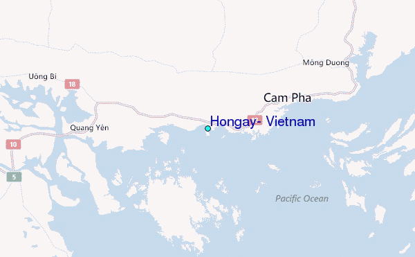
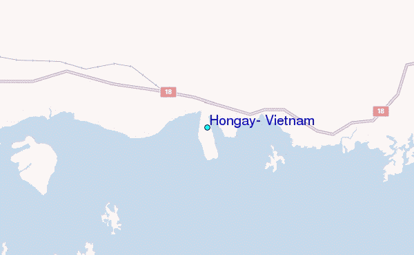
Use this relief map to navigate to tide stations, surf breaks and cities that are in the area of Hongay, Vietnam.
Other Nearby Locations' tide tables and tide charts to Hongay, Vietnam:
click location name for more details
 Surf breaks close to Hongay, Vietnam:
|
||
|---|---|---|
| Closest surf break | Dadonghai | 247 mi |
| Second closest surf break | Jinzonglu | 252 mi |
| Third closest surf break | Ocean Bay Golf Club | 257 mi |
| Fourth closest surf break | Riyue Bay (Riyuewan) | 260 mi |
| Fifth closest surf break | Binh An | 328 mi |

 Nearest
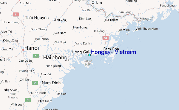