
| Distance / Altitude | Location | Report Date / Time | Live Weather | Wind | Gusts | Temp. | Visibility | Cloud |
|---|---|---|---|---|---|---|---|---|
| 12 km NNE / 217 m | Holland Rock Airport (British Columbia) | 2024-04-29 19:00 local (2024/04/30 02:00 GMT) | - | light winds from the WNW (15 km/h at 300) | 8°C | 0.0 | ||
| 13 km NNE / 6 m | HollandRock-BC (Canada) | 2024-04-29 20:00 local (2024/04/30 03:00 GMT) | - | light winds from the WNW (7 km/h at 300) | 8°C | - | no observation | |
| 24 km N / 24 m | Prince Rupert (Canada) | 2024-04-29 20:00 local (2024/04/30 03:00 GMT) | - | light winds from the W (6 km/h at 270) | 8°C | 36 km | overcast | |
| 24 km N / 218 m | Prince Rupert AR Airport (British Columbia) | 2024-04-29 19:31 local (2024/04/30 02:31 GMT) | Dry and cloudy | light winds from the WSW.(Wind varies from 230 to 310 degs) (6 km/h at 250) | 8°C | 14 | broken overcast | |
| 26 km NW / 216 m | Lucy Island Airport (British Columbia) | 2024-04-29 19:00 local (2024/04/30 02:00 GMT) | - | light winds from the W (13 km/h at 270) | 8°C | 0.0 |
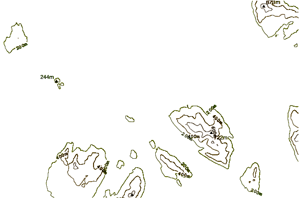
| Contours: | Roads & Rivers: | Select a
tide station / surf break / city |
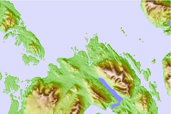
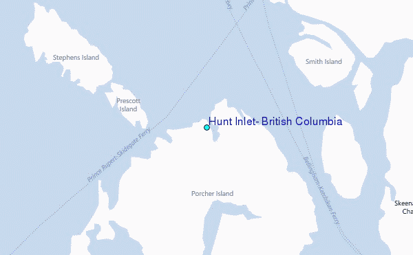
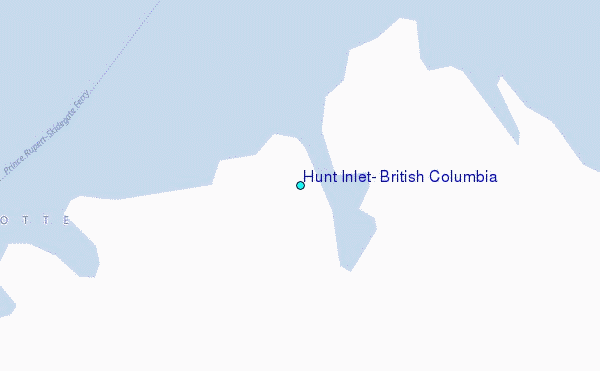
Use this relief map to navigate to tide stations, surf breaks and cities that are in the area of Hunt Inlet, British Columbia.
Other Nearby Locations' tide tables and tide charts to Hunt Inlet, British Columbia:
click location name for more details
 Surf breaks close to Hunt Inlet, British Columbia:
|
||
|---|---|---|
| Closest surf break | Tow Hill Beach | 55 mi |
| Second closest surf break | Lepus Beach (Haida-Gwaii) | 105 mi |
| Third closest surf break | Nootka Island (Calvin Bay) | 341 mi |
| Fourth closest surf break | Tofino (North Chestermans Beach) | 394 mi |
| Fifth closest surf break | South Chesterman Beach | 395 mi |

 Nearest
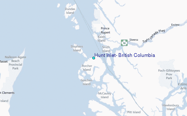