
| Distance / Altitude | Location | Report Date / Time | Live Weather | Wind | Gusts | Temp. | Visibility | Cloud |
|---|---|---|---|---|---|---|---|---|
| 6 km E / 71 m | Greenlawn (New York) | 2024-05-03 13:10 local (2024/05/03 17:10 GMT) | dry | calm (5 km/h at 169) | 17°C | - | - - 0 | |
| 13 km SE / 283 m | Brookhaven Lab Airport (New York) | 2024-05-03 12:35 local (2024/05/03 16:35 GMT) | - | calm (0 km/h at 0) | — | 16 | few - - | |
| 15 km S / 218 m | Farmingdale Airport (New York) | 2024-05-03 11:53 local (2024/05/03 15:53 GMT) | Dry and cloudy | light winds from the ENE (13 km/h at 60) | 13°C | 16 | overcast | |
| 16 km S / 22 m | Farmingdale (New York) | 2024-05-03 12:43 local (2024/05/03 16:43 GMT) | dry | calm (3 km/h at 152) | 29°C | - | - - 0 | |
| 23 km WSW / - m | SHIP5280 (ocean) | 2024-05-03 12:00 local (2024/05/03 16:00 GMT) | - | calm (0 km/h at 0) | — | - | no observation |
| Contours: | Roads & Rivers: | Select a
tide station / surf break / city |
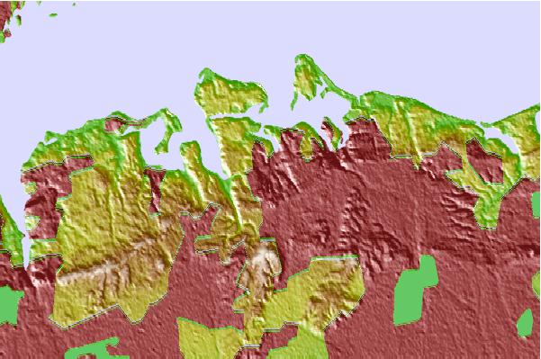
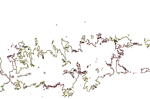
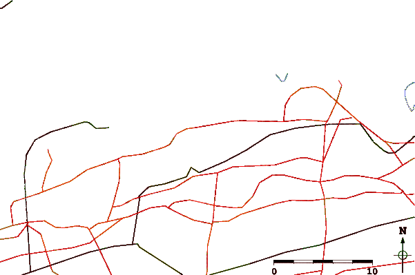
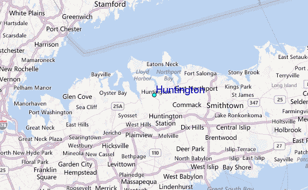
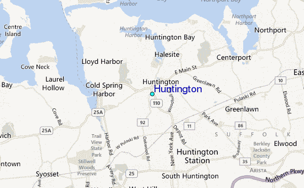
Use this relief map to navigate to tide stations, surf breaks and cities that are in the area of Huntington.
Other Nearby Locations' tide tables and tide charts to Huntington:
click location name for more details
 Surf breaks close to Huntington:
|
||
|---|---|---|
| Closest surf break | Coastguards | 17 mi |
| Second closest surf break | Gilgo | 17 mi |
| Third closest surf break | Democrat Point Robert Moses | 18 mi |
| Fourth closest surf break | Tobay beach | 18 mi |
| Fifth closest surf break | Robert Moses State Park | 19 mi |

 Nearest
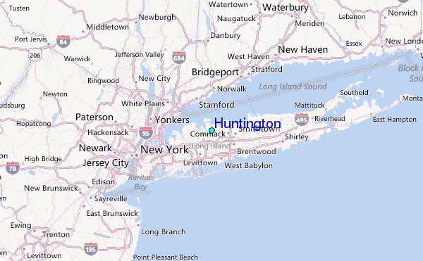