
| Distance / Altitude | Location | Report Date / Time | Live Weather | Wind | Gusts | Temp. | Visibility | Cloud |
|---|---|---|---|---|---|---|---|---|
| 54 km WNW / 3 m | SHIP9944 (Marine) | 2024-04-29 22:00 local (2024/04/29 22:00 GMT) | - (- km/h at -) | — | - | |||
| 56 km SSW / 211 m | Akureyri Airport (Iceland) | 2024-04-29 21:00 local (2024/04/29 21:00 GMT) | Dry and cloudy | moderate winds from the NNW (22 km/h at 330) | 3°C | 10.0 | scattered broken overcast | |
| 65 km NW / 16 m | Grimsey Island Airport (Iceland) | 2024-04-29 21:00 local (2024/04/29 21:00 GMT) | no report | light winds from the NE (17 km/h at 40) | 2°C | 10.0 | overcast - - | |
| 67 km SE / 386 m | Grimsstadir (Iceland) | 2024-04-29 21:00 local (2024/04/29 21:00 GMT) | light snow showers | - (- km/h at -) | 2°C | 5 | - | |
| 54 km WNW / 3 m | SHIP11153 (Marine) | 2024-04-29 22:00 local (2024/04/29 22:00 GMT) | - (- km/h at -) | — | - |
| Contours: | Roads & Rivers: | Select a
tide station / surf break / city |
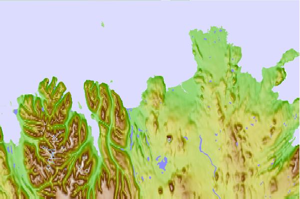
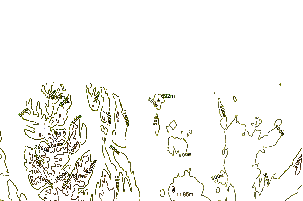
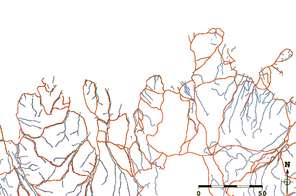
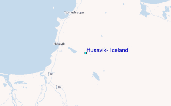
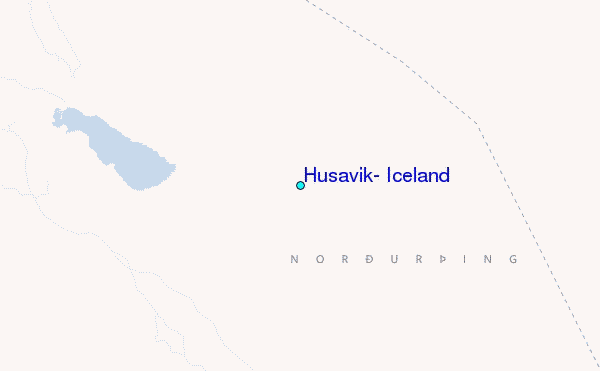
Use this relief map to navigate to tide stations, surf breaks and cities that are in the area of Húsavík, Iceland.
Other Nearby Locations' tide tables and tide charts to Husavik, Iceland:
click location name for more details
 Surf breaks close to Husavik, Iceland:
|
||
|---|---|---|
| Closest surf break | Eyvik | 6 mi |
| Second closest surf break | Grotta | 190 mi |
| Third closest surf break | Þorlákshöfn or Porlackshofn | 193 mi |
| Fourth closest surf break | Hafnarfjordur | 195 mi |
| Fifth closest surf break | Garur | 209 mi |

 Nearest
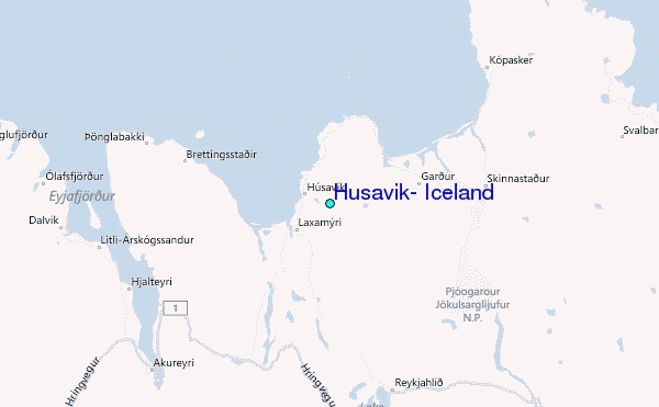