
| Distance / Altitude | Location | Report Date / Time | Live Weather | Wind | Gusts | Temp. | Visibility | Cloud |
|---|---|---|---|---|---|---|---|---|
| 19 km NW / 3 m | SHIP9882 (Marine) | 2024-04-29 08:00 local (2024/04/28 23:00 GMT) | - (- km/h at -) | 21°C | - | |||
| 22 km NE / 77 m | Kanoya (jmsdf) Airport (Japan) | 2024-04-29 08:53 local (2024/04/28 23:53 GMT) | Dry and partly cloudy | light winds from the NE (11 km/h at 40) | 22°C | 10.0 | few scattered broken | |
| 33 km WSW / 31 m | Makurazaki (Japan) | 2024-04-29 10:00 local (2024/04/29 01:00 GMT) | Continuous light rain | light winds from the SE (13 km/h at 130) | 22°C | 30 km | no observation | |
| 37 km NW / 32 m | Kagoshima (Japan) | 2024-04-29 10:00 local (2024/04/29 01:00 GMT) | Continuous light rain | calm (4 km/h at 170) | 22°C | 40 km | no observation | |
| 63 km N / 474 m | Kagoshima Airport (Japan) | 2024-04-29 09:15 local (2024/04/29 00:15 GMT) | Shower light rain shower | light winds from the E.(Wind varies from 060 to 120 degs) (6 km/h at 90) | 20°C | 10.0 | few broken broken |
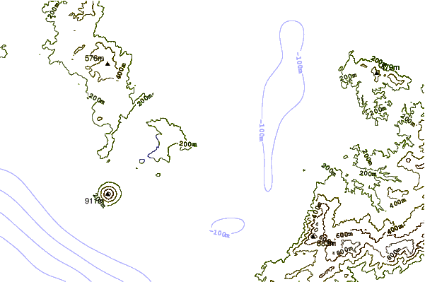
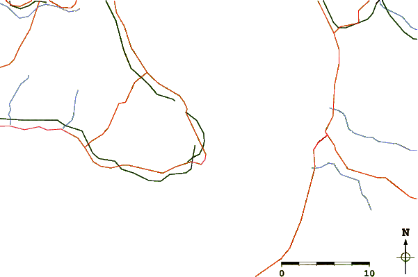
| Contours: | Roads & Rivers: | Select a
tide station / surf break / city |
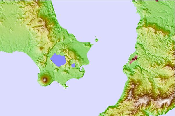
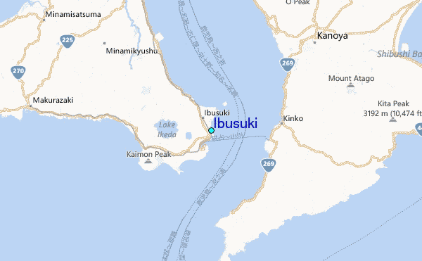
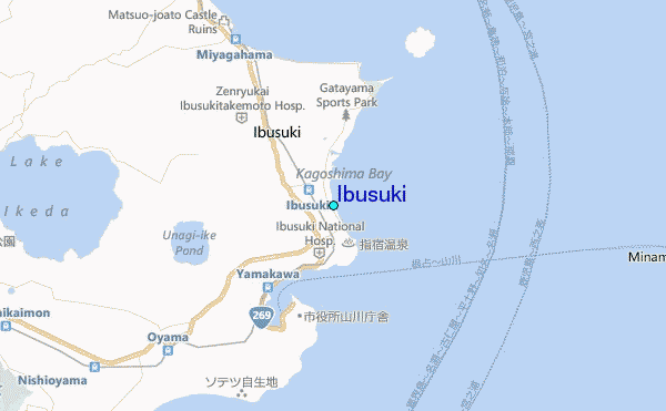
Use this relief map to navigate to tide stations, surf breaks and cities that are in the area of Ibusuki.
Other Nearby Locations' tide tables and tide charts to Ibusuki:
click location name for more details
 Surf breaks close to Ibusuki:
|
||
|---|---|---|
| Closest surf break | Nagata | 37 mi |
| Second closest surf break | Cape Toi | 42 mi |
| Third closest surf break | Kojima | 45 mi |
| Fourth closest surf break | Nichinan | 52 mi |
| Fifth closest surf break | Unnamed | 52 mi |

 Nearest
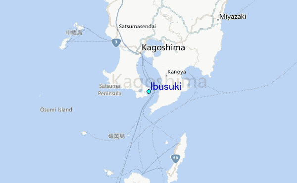