
| Distance / Altitude | Location | Report Date / Time | Live Weather | Wind | Gusts | Temp. | Visibility | Cloud |
|---|---|---|---|---|---|---|---|---|
| 69 km SSE / 9 m | Hall Beach (Canada) | 2024-04-28 16:00 local (2024/04/28 20:00 GMT) | no report | near gales from the W (58 km/h at 280) | -15°C | - | - - - | |
| 70 km SSE / 210 m | Hall Beach Airport (N.w. Territories) | 2024-04-28 16:00 local (2024/04/28 20:00 GMT) | Heavy snow | near gales from the NW (56 km/h at 310) | — | 0 | ||
| 334 km SW / 17 m | Kugaaruk Climate (Canada) | 2024-04-28 16:00 local (2024/04/28 20:00 GMT) | no report | fresh winds from the W (36 km/h at 270) | -15°C | - | - - - | |
| 336 km SW / 325 m | Pelly Bay Airport (N.w. Territories) | 2024-04-28 16:00 local (2024/04/28 20:00 GMT) | Blowing moderate snow | strong winds from the W (39 km/h at 270) | -15°C | 6 | overcast | |
| 369 km S / 297 m | Repulse Bay Airport (N.w. Territories) | 2024-04-28 16:00 local (2024/04/28 20:00 GMT) | Low drifting moderate snow | light winds from the NW (17 km/h at 310) | -14°C | 24 | broken |
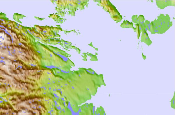
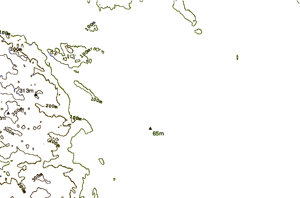
| Contours: | Roads & Rivers: | Select a
tide station / surf break / city |
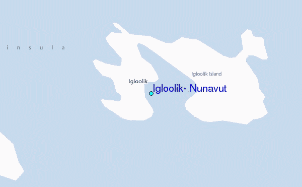
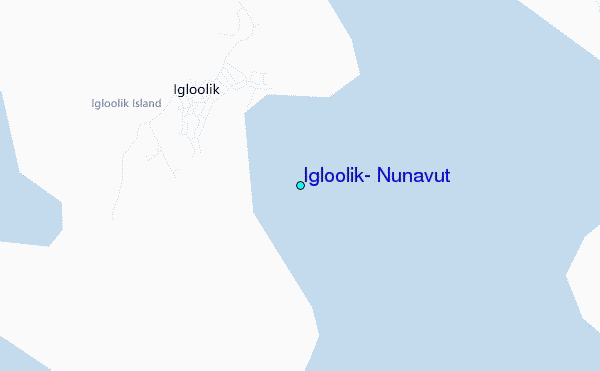
Use this relief map to navigate to tide stations, surf breaks and cities that are in the area of Igloolik, Nunavut.
Other Nearby Locations' tide tables and tide charts to Igloolik, Nunavut:
click location name for more details
 Surf breaks close to Igloolik, Nunavut:
|
||
|---|---|---|
| Closest surf break | Marathon | 1436 mi |
| Second closest surf break | Keweenaw Peninsula | 1530 mi |
| Third closest surf break | Alona Bay | 1538 mi |
| Fourth closest surf break | Apostle Islands | 1570 mi |
| Fifth closest surf break | Au Sable Point | 1576 mi |

 Nearest
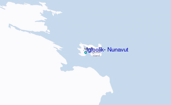