
| Distance / Altitude | Location | Report Date / Time | Live Weather | Wind | Gusts | Temp. | Visibility | Cloud |
|---|---|---|---|---|---|---|---|---|
| 93 km S / 15 m | Breves (Brazil) | 2024-04-28 01:00 local (2024/04/28 04:00 GMT) | clouds developing | - (- km/h at -) | — | 4000 | - | |
| 148 km WNW / 215 m | Macapa International Airport (Brazil) | 2024-04-28 01:00 local (2024/04/28 04:00 GMT) | Light rain | calm (4 km/h at 200) | 27°C | 10.0 | few broken overcast | |
| 153 km WNW / 17 m | Macapa (Aero) (Brazil) | 2024-04-28 01:00 local (2024/04/28 04:00 GMT) | intermittent light rain | calm (4 km/h at 130) | 27°C | 18 | - - - | |
| 161 km SSE / 24 m | Cameta (Brazil) | 2024-04-28 01:00 local (2024/04/28 04:00 GMT) | continuous light rain | - (- km/h at -) | — | 2000 | - - - | |
| 175 km E / 12 m | Soure (81658 -0) (Brazil) | 2024-04-28 00:00 local (2024/04/28 03:00 GMT) | no report | calm (4 km/h at 220) | 24°C | - | - |
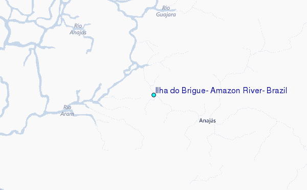
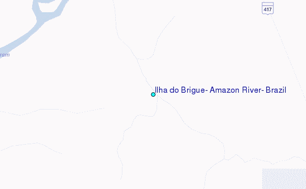
Choose Ilha do Brigue, Amazon River, Brazil Location Map Zoom:
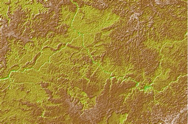
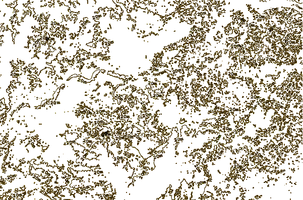
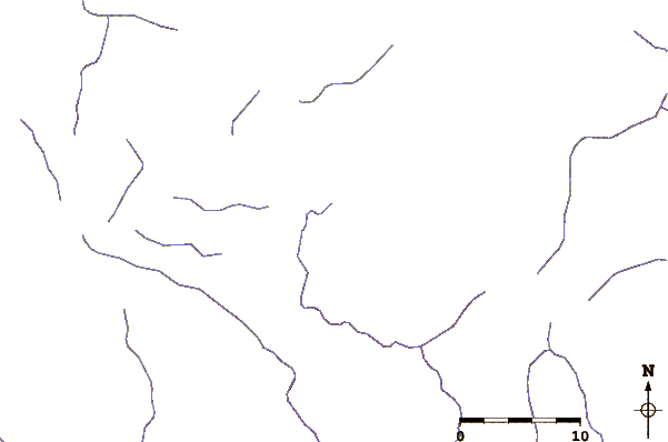
| Contours: | Roads & Rivers: | Select a
tide station / surf break / city |
Use this relief map to navigate to tide stations, surf breaks and cities that are in the area of Ilha do Brigue, Amazon River, Brazil.
Other Nearby Locations' tide tables and tide charts to Ilha do Brigue, Amazon River, Brazil:
click location name for more details
 Surf breaks close to Ilha do Brigue, Amazon River, Brazil:
|
||
|---|---|---|
| Closest surf break | Araruna | 112 mi |
| Second closest surf break | Ponta d'Areia | 411 mi |
| Third closest surf break | Praia de Sao Marcos | 412 mi |
| Fourth closest surf break | Ponta do Farol | 413 mi |
| Fifth closest surf break | Praia do Calhau | 415 mi |

 Nearest
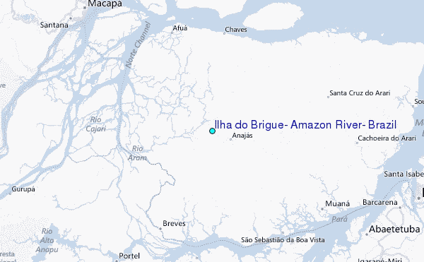