
| Distance / Altitude | Location | Report Date / Time | Live Weather | Wind | Gusts | Temp. | Visibility | Cloud |
|---|---|---|---|---|---|---|---|---|
| 1 km ENE / 3 m | BUOY-TIXC1 (Marine) | 2024-04-28 03:45 local (2024/04/28 10:45 GMT) | calm (2 km/h at 70) | 11°C | - | |||
| 2 km SE / 218 m | Imperial Beach Airport (California) | 2024-04-28 04:53 local (2024/04/28 11:53 GMT) | - | light winds from the E (7 km/h at 100) | — | 0.0 | few - - | |
| 3 km SW / 3 m | Imperial Beach Nearshore Buoy (Marine) | 2024-04-28 05:56 local (2024/04/28 12:56 GMT) | - (- km/h at -) | — | - | |||
| 13 km E / 218 m | San Diego/Brown Field Municipal Airport (California) | 2024-04-28 05:20 local (2024/04/28 12:20 GMT) | Mist - | light winds from the ENE (7 km/h at 70) | 11°C | 5 | overcast | |
| 15 km NW / - m | SHIP7867 (ocean) | 2024-04-28 04:00 local (2024/04/28 11:00 GMT) | No report | calm (2 km/h at 310) | 14°C | - | no observation |
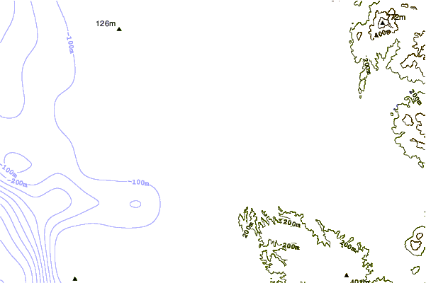
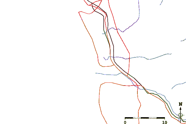
| Contours: | Roads & Rivers: | Select a
tide station / surf break / city |
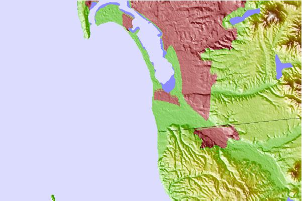
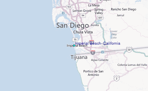
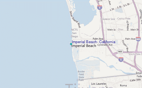
Use this relief map to navigate to tide stations, surf breaks and cities that are in the area of Imperial Beach, California.
Other Nearby Locations' tide tables and tide charts to Imperial Beach, California:
click location name for more details
 Surf breaks close to Imperial Beach, California:
|
||
|---|---|---|
| Closest surf break | Imperial Pier (North and South) | 0 mi |
| Second closest surf break | Imperial Beach | 1 mi |
| Third closest surf break | Tijuana Sloughs | 2 mi |
| Fourth closest surf break | Coronado Beaches | 8 mi |
| Fifth closest surf break | San Antonio Del Mar | 8 mi |

 Nearest
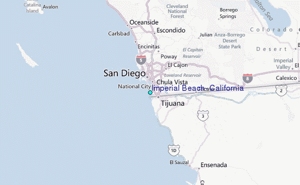