
| Distance / Altitude | Location | Report Date / Time | Live Weather | Wind | Gusts | Temp. | Visibility | Cloud |
|---|---|---|---|---|---|---|---|---|
| 50 km SSW / 3 m | BUOY-NKLA2 (Marine) | 2024-05-02 21:44 local (2024/05/03 05:44 GMT) | near gales from the E (55 km/h at 90) | 3°C | - | |||
| 53 km SSW / 3 m | BUOY-OLSA2 (Marine) | 2024-05-02 21:18 local (2024/05/03 05:18 GMT) | strong winds from the ESE (42 km/h at 110) | 5°C | - | |||
| 132 km ENE / 3 m | BUOY-CPXA2 (Marine) | 2024-05-02 21:44 local (2024/05/03 05:44 GMT) | moderate winds from the SSE (24 km/h at 150) | 5°C | - | |||
| 136 km ENE / 3 m | BUOY-UNLA2 (Marine) | 2024-05-02 21:18 local (2024/05/03 05:18 GMT) | moderate winds from the SSE (21 km/h at 150) | 4°C | - | |||
| 137 km ENE / 3 m | BUOY-DPXA2 (Marine) | 2024-05-02 21:44 local (2024/05/03 05:44 GMT) | moderate winds from the ESE (28 km/h at 120) | 4°C | - |
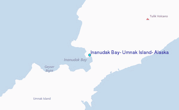
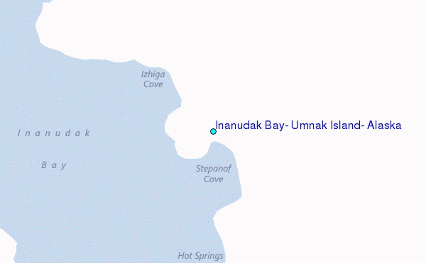
Choose Inanudak Bay, Umnak Island, Alaska Location Map Zoom:
| Contours: | Roads & Rivers: | Select a
tide station / surf break / city |
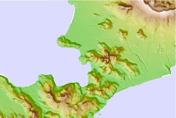
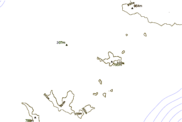
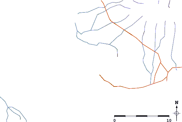
Use this relief map to navigate to tide stations, surf breaks and cities that are in the area of Inanudak Bay, Umnak Island, Alaska.
Other Nearby Locations' tide tables and tide charts to Inanudak Bay, Umnak Island, Alaska:
click location name for more details
 Surf breaks close to Inanudak Bay, Umnak Island, Alaska:
|
||
|---|---|---|
| Closest surf break | Fossil Beach Kodiak | 688 mi |
| Second closest surf break | Monashka Bay | 694 mi |
| Third closest surf break | Termination Point | 696 mi |
| Fourth closest surf break | Mill Bay | 697 mi |
| Fifth closest surf break | Bird Point (Tidal Bore) | 815 mi |

 Nearest
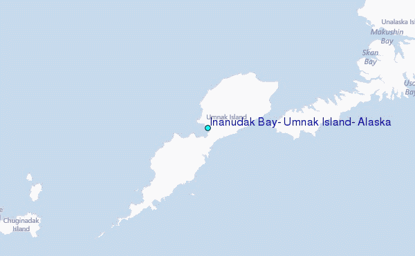