
| Distance / Altitude | Location | Report Date / Time | Live Weather | Wind | Gusts | Temp. | Visibility | Cloud |
|---|---|---|---|---|---|---|---|---|
| 36 km SSE / 215 m | Waskaganish Airport (Quebec) | 2024-05-03 17:00 local (2024/05/03 21:00 GMT) | Light rain | light winds from the SSE (15 km/h at 160) | 15°C | 8 | broken overcast | |
| 120 km SW / 9 m | Moosonee Rcs Airport (Ontario) | 2024-05-03 18:00 local (2024/05/03 22:00 GMT) | - | light winds from the SSE (11 km/h at 160) | 12°C | 0.0 | ||
| 120 km SW / 9 m | Moosonee Airport (Canada) | 2024-05-03 19:00 local (2024/05/03 23:00 GMT) | no report | light winds from the S (18 km/h at 180) | 12°C | 29 km | - overcast - | |
| 124 km SW / 217 m | Moosonee Airport (Ontario) | 2024-05-03 18:31 local (2024/05/03 22:31 GMT) | Dry and cloudy | moderate winds from the S (20 km/h at 170) | 12°C | 14 | few overcast | |
| 228 km NNE / 217 m | La Grande Rivier Airport (Quebec) | 2024-05-03 18:00 local (2024/05/03 22:00 GMT) | Dry and partly cloudy | moderate winds from the SE (26 km/h at 130) | 15°C | 24 | few scattered broken |
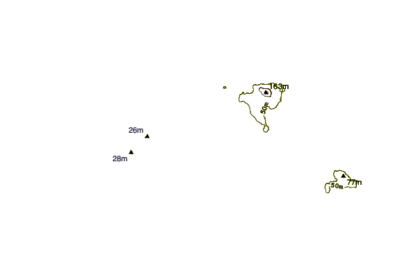
| Contours: | Roads & Rivers: | Select a
tide station / surf break / city |
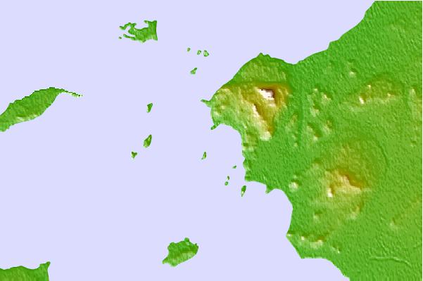
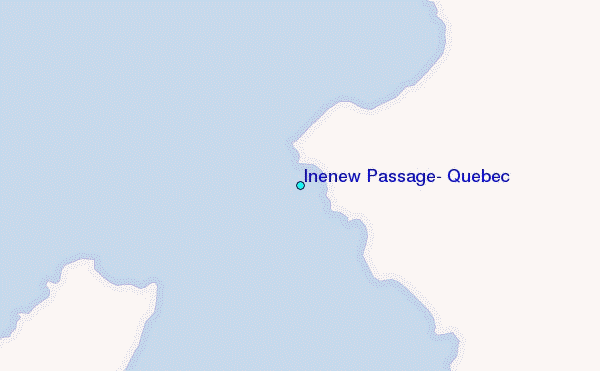
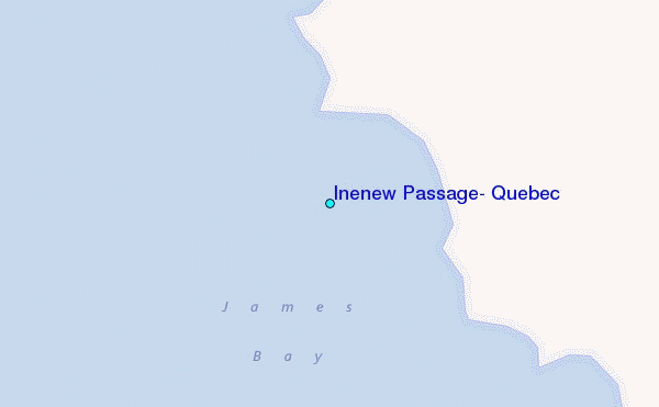
Use this relief map to navigate to tide stations, surf breaks and cities that are in the area of Inenew Passage, Quebec.
Other Nearby Locations' tide tables and tide charts to Inenew Passage, Quebec:
click location name for more details
 Surf breaks close to Inenew Passage, Quebec:
|
||
|---|---|---|
| Closest surf break | Marathon | 392 mi |
| Second closest surf break | Alona Bay | 406 mi |
| Third closest surf break | Manitoulin Island | 444 mi |
| Fourth closest surf break | Bayfield | 444 mi |
| Fifth closest surf break | Grand Marias | 474 mi |

 Nearest