
| Distance / Altitude | Location | Report Date / Time | Live Weather | Wind | Gusts | Temp. | Visibility | Cloud |
|---|---|---|---|---|---|---|---|---|
| 38 km WNW / 217 m | Frobisher/Iqaluit Airport (N.w. Territories) | 2024-04-28 19:00 local (2024/04/28 23:00 GMT) | Dry and partly cloudy | moderate winds from the WNW (20 km/h at 300) | -9°C | 48 | few broken | |
| 39 km WNW / 34 m | Iqaluit (Canada) | 2024-04-28 19:00 local (2024/04/28 23:00 GMT) | no report | light winds from the NW (18 km/h at 310) | -9°C | - | - | |
| 316 km NNE / 23 m | Pangnirtung- NU (Canada) | 2024-04-28 19:00 local (2024/04/28 23:00 GMT) | no report | light winds from the NW (11 km/h at 310) | -10°C | - | - - - | |
| 317 km NNE / 322 m | Pangnirtung Airport (N.w. Territories) | 2024-04-28 19:00 local (2024/04/28 23:00 GMT) | Dry and partly cloudy | calm (4 km/h at 360) | -9°C | 24 | broken | |
| 379 km SSW / 503 m | Parc National Des Pingualuit- Que (Canada) | 2024-04-28 19:00 local (2024/04/28 23:00 GMT) | no report | fresh winds from the W (32 km/h at 260) | -13°C | - | - |
| Contours: | Roads & Rivers: | Select a
tide station / surf break / city |
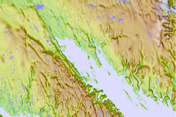
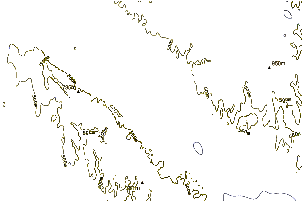
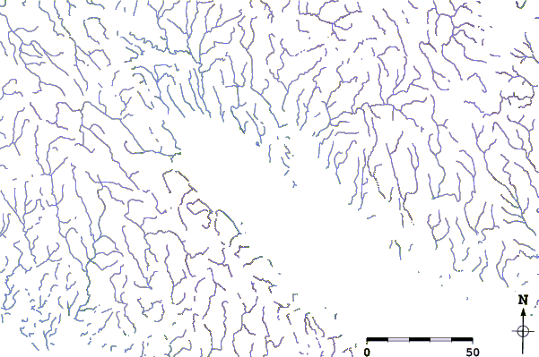
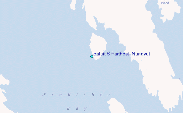
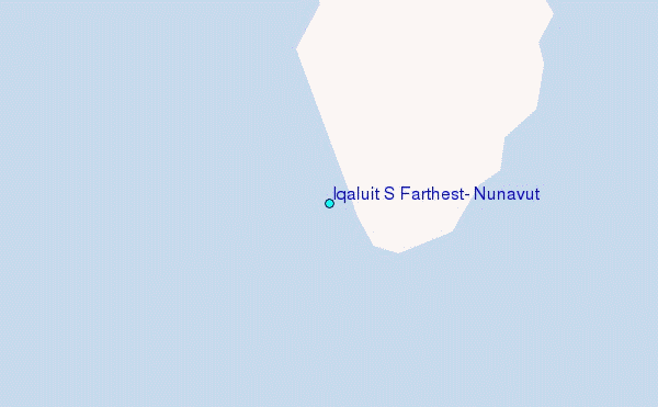
Use this relief map to navigate to tide stations, surf breaks and cities that are in the area of Iqaluit S Farthest, Nunavut.
Other Nearby Locations' tide tables and tide charts to Iqaluit S Farthest, Nunavut:
click location name for more details
 Surf breaks close to Iqaluit S Farthest, Nunavut:
|
||
|---|---|---|
| Closest surf break | Ingonish Beach | 1201 mi |
| Second closest surf break | Marathon | 1235 mi |
| Third closest surf break | Kennington Cove | 1256 mi |
| Fourth closest surf break | Michaud Point | 1271 mi |
| Fifth closest surf break | Alona Bay | 1296 mi |

 Nearest
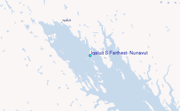