
| Distance / Altitude | Location | Report Date / Time | Live Weather | Wind | Gusts | Temp. | Visibility | Cloud |
|---|---|---|---|---|---|---|---|---|
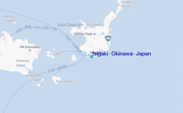
| 0 km WNW / 15 m | Ishigakijima (Japan) | 2024-05-02 15:00 local (2024/05/02 06:00 GMT) | Shower - in the vicinity | moderate winds from the NE (26 km/h at 40) | 25°C | 10.0 | broken broken - | |
| 27 km NNE / 77 m | Akaishi (Japan) | 2024-05-02 16:00 local (2024/05/02 07:00 GMT) | - | light winds from the NNE (15 km/h at 15) | 22°C | - | - - 0 | |
| 42 km W / 11 m | Iriomotejima (Japan) | 2024-05-02 16:00 local (2024/05/02 07:00 GMT) | - | light winds from the NE (17 km/h at 50) | 25°C | 31 km | no observation | |
| 63 km ENE / 9 m | Tarama Island (Japan) | 2024-05-02 15:00 local (2024/05/02 06:00 GMT) | Dry and partly cloudy | light winds from the NE.(Wind varies from 360 to 080 degs) (11 km/h at 40) | 24°C | 10.0 | few scattered broken | |
| 113 km ENE / 386 m | Shimoji Shima Island Airport (Japan) | 2024-05-02 15:22 local (2024/05/02 06:22 GMT) | Shower light rain shower | light winds from the E (15 km/h at 80) | 23°C | 8.0 | few scattered broken |
| Contours: | Roads & Rivers: | Select a
tide station / surf break / city |
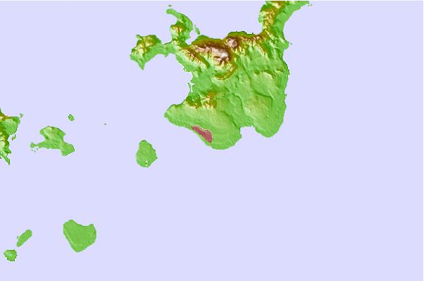
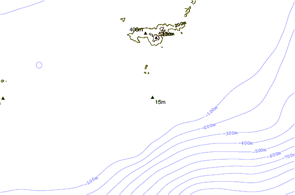
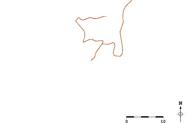
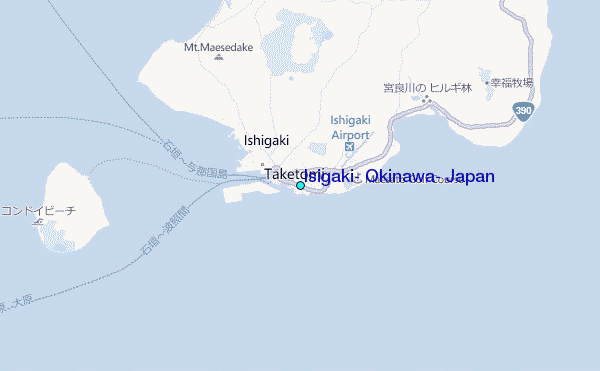
Use this relief map to navigate to tide stations, surf breaks and cities that are in the area of Isigaki, Okinawa, Japan.
Other Nearby Locations' tide tables and tide charts to Isigaki, Okinawa, Japan:
click location name for more details
 Surf breaks close to Isigaki, Okinawa, Japan:
|
||
|---|---|---|
| Closest surf break | Sunrise | 147 mi |
| Second closest surf break | Fulung Beach | 149 mi |
| Third closest surf break | Lightning Bolt | 149 mi |
| Fourth closest surf break | The Core | 151 mi |
| Fifth closest surf break | Barrels | 152 mi |

 Nearest
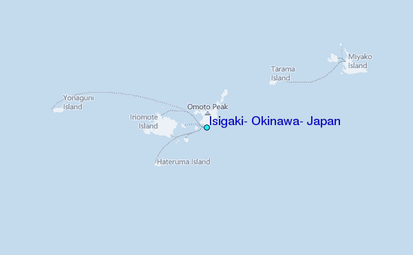