
| Distance / Altitude | Location | Report Date / Time | Live Weather | Wind | Gusts | Temp. | Visibility | Cloud |
|---|---|---|---|---|---|---|---|---|
| 454 km N / - m | SHIP5529 (ocean) | 2024-04-27 15:00 local (2024/04/27 21:00 GMT) | - | fresh winds from the NW (35 km/h at 310) | 18°C | - | no observation | |
| 475 km NNE / 83 m | Lienzo Charro wx (Mexico) | 2024-04-27 16:44 local (2024/04/27 22:44 GMT) | - | moderate winds from the WNW (24 km/h at 289) | 25°C | - | - - 0 | |
| 480 km NNE / 85 m | Cabo San Lucas (Mexico) | 2024-04-27 16:46 local (2024/04/27 22:46 GMT) | dry | calm (2 km/h at 280) | 29°C | - | - - 0 | |
| 483 km NNE / 140 m | Cabo San Lucas Airport (Mexico) | 2024-04-27 16:40 local (2024/04/27 22:40 GMT) | Dry and partly cloudy | light winds from the W (11 km/h at 280) | 25°C | 16 | scattered | |
| 504 km NNE / 29 m | San Jose del Cabo (Mexico) | 2024-04-27 16:10 local (2024/04/27 22:10 GMT) | dry | light winds from the SSE (8 km/h at 161) | 26°C | - | - - 0 |
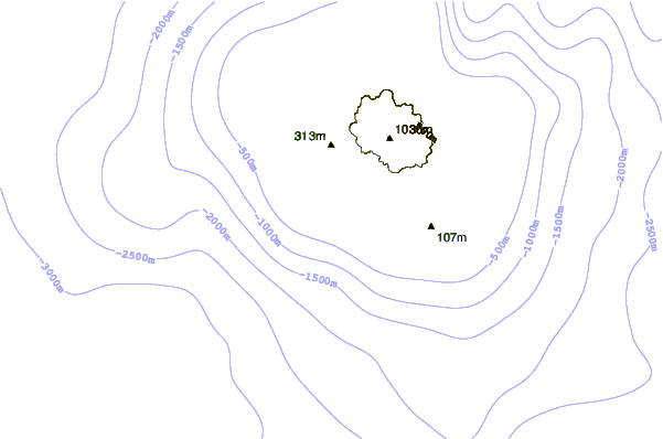
| Contours: | Roads & Rivers: | Select a
tide station / surf break / city |
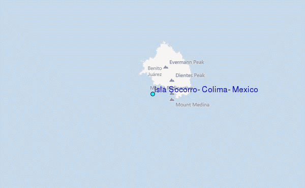
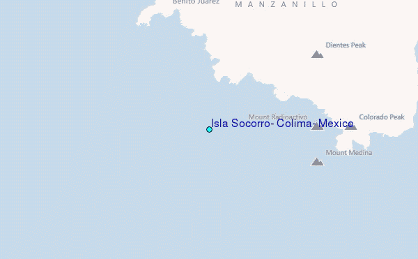
Use this relief map to navigate to tide stations, surf breaks and cities that are in the area of Isla Socorro, Colima, Mexico.
Other Nearby Locations' tide tables and tide charts to Isla Socorro, Colima, Mexico:
click location name for more details
 Surf breaks close to Isla Socorro, Colima, Mexico:
|
||
|---|---|---|
| Closest surf break | Backwash | 296 mi |
| Second closest surf break | Monuments | 297 mi |
| Third closest surf break | Bahia Chileno | 298 mi |
| Fourth closest surf break | Rancho San Carlos | 300 mi |
| Fifth closest surf break | La Punta | 301 mi |

 Nearest
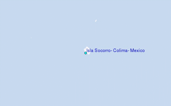