
| Distance / Altitude | Location | Report Date / Time | Live Weather | Wind | Gusts | Temp. | Visibility | Cloud |
|---|---|---|---|---|---|---|---|---|
| 8 km NNE / 205 m | Lac St Pierre Airport (Quebec) | 2024-04-28 06:00 local (2024/04/28 10:00 GMT) | no report | light winds from the S (7 km/h at 190) | 11°C | 0.0 | - - - | |
| 17 km SSW / 3 m | SHIP2541 (Marine) | 2024-04-28 05:00 local (2024/04/28 09:00 GMT) | light winds from the WSW (8 km/h at 240) | 12°C | - | |||
| 26 km ENE / 8 m | Nicolet- Que (Canada) | 2024-04-28 06:00 local (2024/04/28 10:00 GMT) | no report | light winds from the SSW (11 km/h at 210) | 11°C | - | - | |
| 26 km ENE / 187 m | Nicolet Airport (Quebec) | 2024-04-28 06:00 local (2024/04/28 10:00 GMT) | - | light winds from the SSW (11 km/h at 210) | 11°C | 0.0 | - - - | |
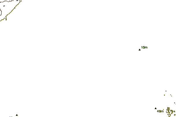
| 28 km NE / 15 m | 1264 (Canada) | 2024-04-28 07:00 local (2024/04/28 11:00 GMT) | - | light winds from the W (13 km/h at 268) | 9°C | - | - - 0 |
| Contours: | Roads & Rivers: | Select a
tide station / surf break / city |

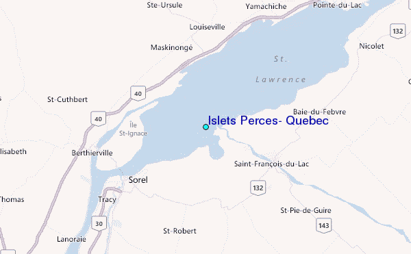
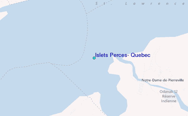
Use this relief map to navigate to tide stations, surf breaks and cities that are in the area of Islets Perces, Quebec.
Other Nearby Locations' tide tables and tide charts to Islets Perces, Quebec:
click location name for more details
 Surf breaks close to Islets Perces, Quebec:
|
||
|---|---|---|
| Closest surf break | Trayhan's | 219 mi |
| Second closest surf break | Old Orchard Beach | 219 mi |
| Third closest surf break | Pine Point | 219 mi |
| Fourth closest surf break | Higgins Beach | 220 mi |
| Fifth closest surf break | Richardson Beach | 220 mi |

 Nearest
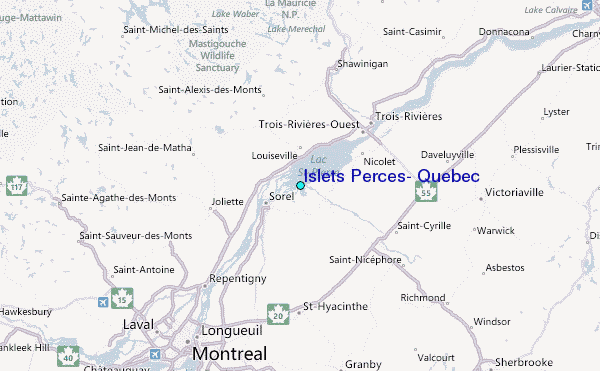