
| Distance / Altitude | Location | Report Date / Time | Live Weather | Wind | Gusts | Temp. | Visibility | Cloud |
|---|---|---|---|---|---|---|---|---|
| 49 km NE / 256 m | Port-Au-prince Airport (Haiti) | 2024-04-28 20:59 local (2024/04/29 00:59 GMT) | - | calm (0 km/h at 0) | — | |||
| 155 km E / 360 m | Barahona Airport (Dominican Republic) | 2024-04-28 20:00 local (2024/04/29 00:00 GMT) | Moderate rain | light winds from the SE (19 km/h at 130) | 25°C | 4.0 | few broken broken | |
| 213 km E / 10 m | Playa Punta Salinas (Dominican Republic) | 2024-04-28 22:00 local (2024/04/29 02:00 GMT) | - | light winds from the NE (9 km/h at 36) | 26°C | - | - - 0 | |
| 220 km NE / 64 m | Mao (Dominican Republic) | 2024-04-28 21:37 local (2024/04/29 01:37 GMT) | dry | calm (5 km/h at 108) | 23°C | - | - - 0 | |
| 241 km NE / 209 m | Santiago International Airport (Dominican Republic) | 2024-04-28 21:00 local (2024/04/29 01:00 GMT) | Dry and partly cloudy | light winds from the N.(Wind varies from 050 to 130 degs) (6 km/h at 1) | 22°C | 10.0 | scattered broken |
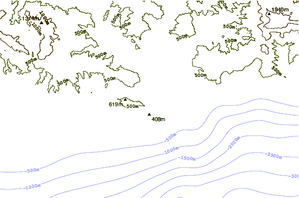
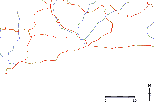
| Contours: | Roads & Rivers: | Select a
tide station / surf break / city |
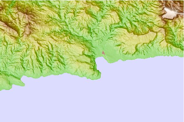
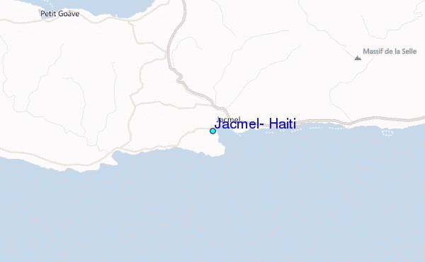
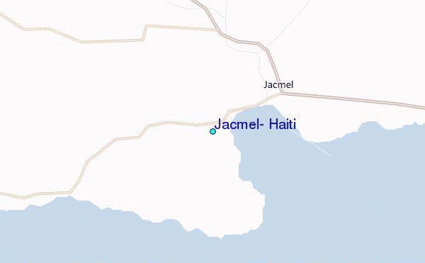
Use this relief map to navigate to tide stations, surf breaks and cities that are in the area of Jacmel, Haiti.
Other Nearby Locations' tide tables and tide charts to Jacmel, Haiti:
click location name for more details
 Surf breaks close to Jacmel, Haiti:
|
||
|---|---|---|
| Closest surf break | Jacmel | 2 mi |
| Second closest surf break | Bahia de las Aguilas | 65 mi |
| Third closest surf break | Isla Beata | 83 mi |
| Fourth closest surf break | Cabo Beata | 86 mi |
| Fifth closest surf break | Cabo Mongo | 86 mi |

 Nearest
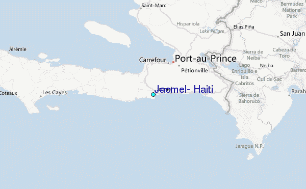