
| Distance / Altitude | Location | Report Date / Time | Live Weather | Wind | Gusts | Temp. | Visibility | Cloud |
|---|---|---|---|---|---|---|---|---|
| 216 km NE / 208 m | Majuro Atoll Airport (Marshall Islands) | 2024-04-28 07:50 local (2024/04/27 19:50 GMT) | Dry and partly cloudy | light winds from the ENE (19 km/h at 60) | 28°C | 24 | scattered broken broken | |
| 232 km NE / 3 m | Kalo- Majuro- Marshall Islands (Marine) | 2024-04-28 08:30 local (2024/04/27 20:30 GMT) | - (- km/h at -) | 29°C | - | |||
| 375 km NW / 3 m | BUOY-KWJP8 (Marine) | 2024-04-28 08:48 local (2024/04/27 20:48 GMT) | - (- km/h at -) | — | - | |||
| 376 km NW / 215 m | Kwajalein/buchol Airport (Marshall Islands) | 2024-04-28 08:40 local (2024/04/27 20:40 GMT) | Mist - | moderate winds from the E (28 km/h at 90) | 27°C | 3 | scattered broken overcast | |
| 623 km SE / 2 m | Tarawa Kiribati Airport (Fiji/tonga/tuvalu) | 2024-04-28 08:00 local (2024/04/27 20:00 GMT) | Shower light rain shower | moderate winds from the E (20 km/h at 80) | 28°C | 10.0 | few scattered broken |
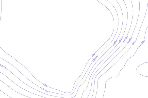
| Contours: | Roads & Rivers: | Select a
tide station / surf break / city |
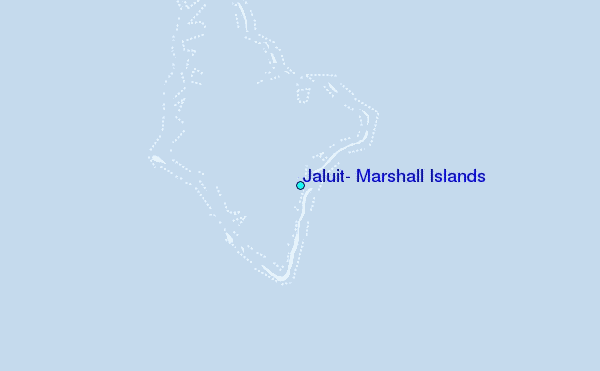
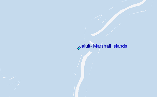
Use this relief map to navigate to tide stations, surf breaks and cities that are in the area of Jaluit, Marshall Islands.
Other Nearby Locations' tide tables and tide charts to Jaluit, Marshall Islands:
click location name for more details
 Surf breaks close to Jaluit, Marshall Islands:
|
||
|---|---|---|
| Closest surf break | Naa | 374 mi |
| Second closest surf break | Sidedish | 462 mi |
| Third closest surf break | Walung | 464 mi |
| Fourth closest surf break | Lavata | 1306 mi |
| Fifth closest surf break | Kundu Kundu | 1306 mi |

 Nearest
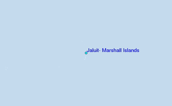