
| Distance / Altitude | Location | Report Date / Time | Live Weather | Wind | Gusts | Temp. | Visibility | Cloud |
|---|---|---|---|---|---|---|---|---|
| 6 km ESE / 436 m | St.HelenaIs. (United Kingdom) | 2024-04-30 00:00 local (2024/04/30 00:00 GMT) | - | light winds from the SE (17 km/h at 130) | 20°C | - | - no observation - | |
| 267 km NE / 15 m | ASCATC356E15S (Marine) | 2024-04-29 22:07 local (2024/04/29 22:07 GMT) | moderate winds from the SE (22 km/h at 143) | — | - km | |||
| 285 km E / 15 m | ASCATC357E16S (Marine) | 2024-04-29 22:07 local (2024/04/29 22:07 GMT) | moderate winds from the SE (23 km/h at 137) | — | - km | |||
| 310 km ENE / 15 m | ASCATC357E15S (Marine) | 2024-04-29 22:07 local (2024/04/29 22:07 GMT) | moderate winds from the SE (21 km/h at 131) | — | - km | |||
| 315 km ESE / 15 m | ASCATC357E17S (Marine) | 2024-04-29 22:07 local (2024/04/29 22:07 GMT) | moderate winds from the SE (21 km/h at 135) | — | - km |

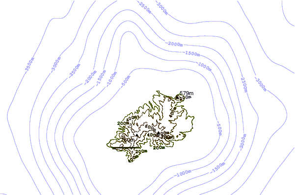
| Contours: | Roads & Rivers: | Select a
tide station / surf break / city |
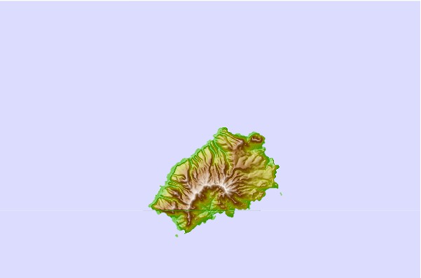
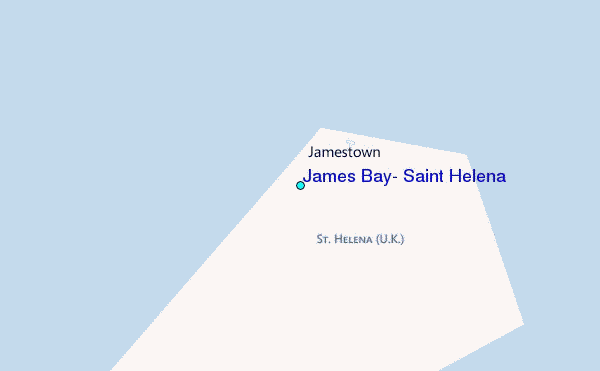
Use this relief map to navigate to tide stations, surf breaks and cities that are in the area of James Bay, Saint Helena.
Other Nearby Locations' tide tables and tide charts to James Bay, Saint Helena:
click location name for more details
 Surf breaks close to James Bay, Saint Helena:
|
||
|---|---|---|
| Closest surf break | Bocock's Bay | 1337 mi |
| Second closest surf break | Cabo Ledo | 1345 mi |
| Third closest surf break | Shipwreck | 1347 mi |
| Fourth closest surf break | Cape Cross | 1347 mi |
| Fifth closest surf break | Factory Point | 1347 mi |

 Nearest
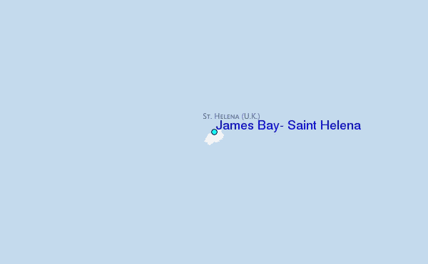