
| Distance / Altitude | Location | Report Date / Time | Live Weather | Wind | Gusts | Temp. | Visibility | Cloud |
|---|---|---|---|---|---|---|---|---|
| 6 km S / 240 m | Stuart/Witham Field Airport (Florida) | 2024-04-29 05:35 local (2024/04/29 09:35 GMT) | Dry and partly cloudy | light winds from the ESE (19 km/h at 120) | — | 16 | broken broken | |
| 11 km SSE / 7 m | Stuart (Florida) | 2024-04-29 06:25 local (2024/04/29 10:25 GMT) | dry | calm (3 km/h at 180) | 22°C | - | - - 0 | |
| 34 km NW / 218 m | Fort Pierce Airport (Florida) | 2024-04-29 04:53 local (2024/04/29 08:53 GMT) | Dry and partly cloudy | moderate winds from the ESE (24 km/h at 110) | 23°C | 16 | scattered broken | |
| 34 km SSE / 3 m | Jupiter (Florida) | 2024-04-29 06:21 local (2024/04/29 10:21 GMT) | dry | light winds from the E (13 km/h at 97) | 21°C | - | - - 0 | |
| 35 km N / 3 m | Fort Pierce- FL (Marine) | 2024-04-29 06:26 local (2024/04/29 10:26 GMT) | - (- km/h at -) | — | - |
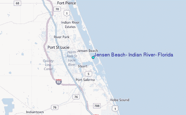
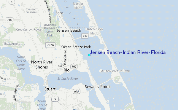
Choose Jensen Beach, Indian River, Florida Location Map Zoom:
| Contours: | Roads & Rivers: | Select a
tide station / surf break / city |
Use this relief map to navigate to tide stations, surf breaks and cities that are in the area of Jensen Beach, Indian River, Florida.
Other Nearby Locations' tide tables and tide charts to Jensen Beach, Indian River, Florida:
click location name for more details
 Surf breaks close to Jensen Beach, Indian River, Florida:
|
||
|---|---|---|
| Closest surf break | Jensen Beach | 2 mi |
| Second closest surf break | Stuart Public Beach | 3 mi |
| Third closest surf break | Stuart Rocks | 4 mi |
| Fourth closest surf break | Walton Rocks (Power Plant) | 8 mi |
| Fifth closest surf break | Stumps | 9 mi |

 Nearest
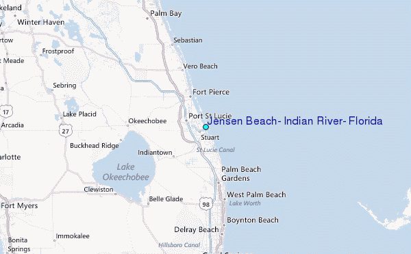