
| Distance / Altitude | Location | Report Date / Time | Live Weather | Wind | Gusts | Temp. | Visibility | Cloud |
|---|---|---|---|---|---|---|---|---|
| 1 km WSW / 215 m | Kake Airport (Alaska) | 2024-04-26 20:56 local (2024/04/27 04:56 GMT) | Dry and partly cloudy | calm (0 km/h at 0) | 8°C | 16 | scattered | |
| 38 km NNE / 3 m | BUOY-FFIA2 (Marine) | 2024-04-26 21:00 local (2024/04/27 05:00 GMT) | light winds from the ENE (15 km/h at 60) | 12°C | - | |||
| 42 km WSW / 3 m | BUOY-PGXA2 (Marine) | 2024-04-26 21:43 local (2024/04/27 05:43 GMT) | calm (4 km/h at 320) | 11°C | - | |||
| 60 km ESE / - m | SHIP6185 (ocean) | 2024-04-26 21:00 local (2024/04/27 05:00 GMT) | - | light winds from the S (6 km/h at 190) | 7°C | - | no observation | |
| 60 km ESE / - m | SHIP5623 (ocean) | 2024-04-26 21:00 local (2024/04/27 05:00 GMT) | - | light winds from the S (6 km/h at 180) | 8°C | - | no observation |
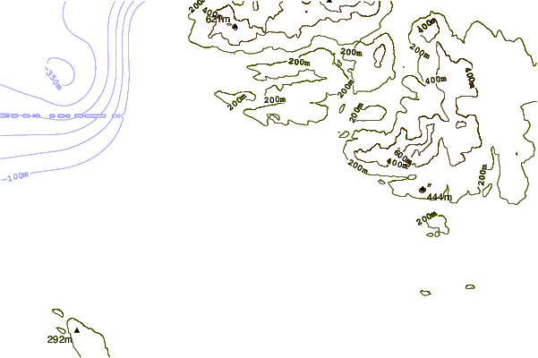
| Contours: | Roads & Rivers: | Select a
tide station / surf break / city |
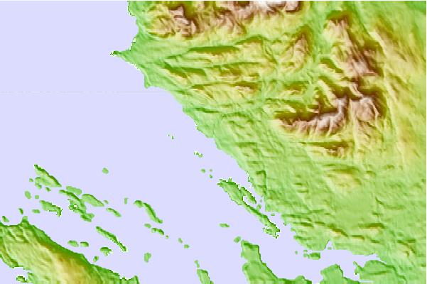
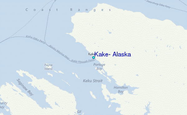
Use this relief map to navigate to tide stations, surf breaks and cities that are in the area of Kake, Alaska.
Other Nearby Locations' tide tables and tide charts to Kake, Alaska:
click location name for more details
 Surf breaks close to Kake, Alaska:
|
||
|---|---|---|
| Closest surf break | Lepus Beach (Haida-Gwaii) | 196 mi |
| Second closest surf break | Tow Hill Beach | 216 mi |
| Third closest surf break | Cannon Beach | 275 mi |
| Fourth closest surf break | Graveyards | 278 mi |
| Fifth closest surf break | Ocean Cape | 280 mi |

 Nearest
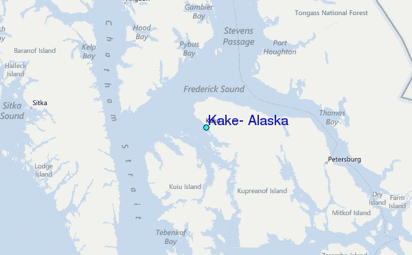