
| Distance / Altitude | Location | Report Date / Time | Live Weather | Wind | Gusts | Temp. | Visibility | Cloud |
|---|---|---|---|---|---|---|---|---|
| 21 km SSE / 80 m | Dalipdip wx (Philippines) | 2024-04-27 17:02 local (2024/04/27 09:02 GMT) | dry | light winds from the NNE (8 km/h at 23) | 30°C | - | - - 0 | |
| 51 km WNW / 0 m | Alabat (Philippines) | 2024-04-27 17:00 local (2024/04/27 09:00 GMT) | no report | light winds from the N (7 km/h at 360) | 33°C | 25 | - | |
| 96 km N / 47 m | Romblon Airport (Tablas Island) (Philippines) | 2024-04-27 16:00 local (2024/04/27 08:00 GMT) | Dry and partly cloudy | light winds from the ESE.(Wind varies from 040 to 170 degs) (9 km/h at 110) | 35°C | 10.0 | few scattered | |
| 103 km N / 47 m | Romblon (Philippines) | 2024-04-27 16:00 local (2024/04/27 08:00 GMT) | haze | - (- km/h at -) | 30°C | 20 | - | |
| 155 km ENE / 210 m | Macatan Airport (Philippines) | 2024-04-27 16:00 local (2024/04/27 08:00 GMT) | no report | light winds from the NE (14 km/h at 50) | 33°C | 10 | few scattered - |
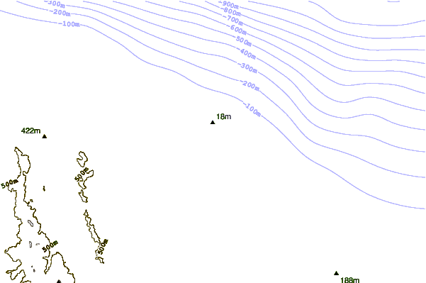
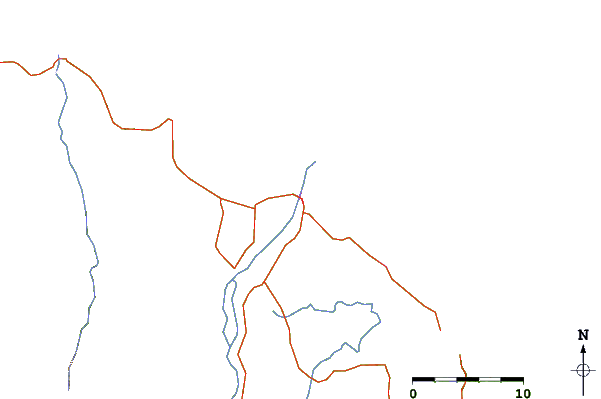
| Contours: | Roads & Rivers: | Select a
tide station / surf break / city |
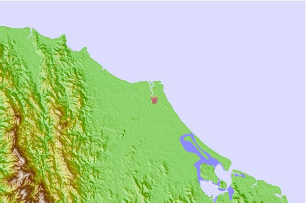
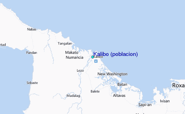
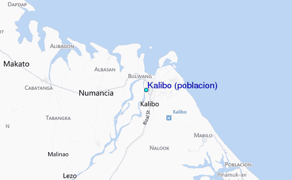
Use this relief map to navigate to tide stations, surf breaks and cities that are in the area of Kalibo (poblacion).
Other Nearby Locations' tide tables and tide charts to Kalibo (poblacion):
click location name for more details
 Surf breaks close to Kalibo (poblacion):
|
||
|---|---|---|
| Closest surf break | Bagasbas Beach | 173 mi |
| Second closest surf break | Virac Harbour | 179 mi |
| Third closest surf break | Moning | 191 mi |
| Fourth closest surf break | Lucky Point | 194 mi |
| Fifth closest surf break | Majestics | 194 mi |

 Nearest
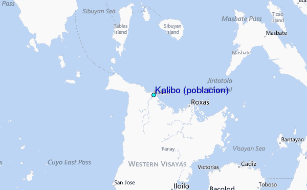