
| Distance / Altitude | Location | Report Date / Time | Live Weather | Wind | Gusts | Temp. | Visibility | Cloud |
|---|---|---|---|---|---|---|---|---|
| 141 km WNW / 359 m | Port Moresby International Airport (Papua New Guinea) | 2024-04-28 15:00 local (2024/04/28 05:00 GMT) | Haze - | moderate winds from the SSE (28 km/h at 160) | 32°C | 10.0 | scattered scattered | |
| 425 km ESE / 15 m | SHIP2614 (Marine) | 2024-04-28 16:00 local (2024/04/28 06:00 GMT) | - (- km/h at -) | — | - km | |||
| 431 km NW / 70 m | Nadzab (Papua New Guinea) | 2024-04-28 15:00 local (2024/04/28 05:00 GMT) | Haze - | moderate winds from the E (28 km/h at 90) | 31°C | 10.0 | scattered scattered | |
| 431 km NW / 70 m | Nadzab Airport (Papua New Guinea) | 2024-04-28 14:00 local (2024/04/28 04:00 GMT) | Haze - | moderate winds from the ESE (28 km/h at 110) | 33°C | 10.0 | scattered scattered broken | |
| 506 km NW / 69 m | Mount Hagen Airport (Papua New Guinea) | 2024-04-28 15:00 local (2024/04/28 05:00 GMT) | Dry and partly cloudy | moderate winds from the SSE (28 km/h at 160) | 21°C | 10.0 | scattered |
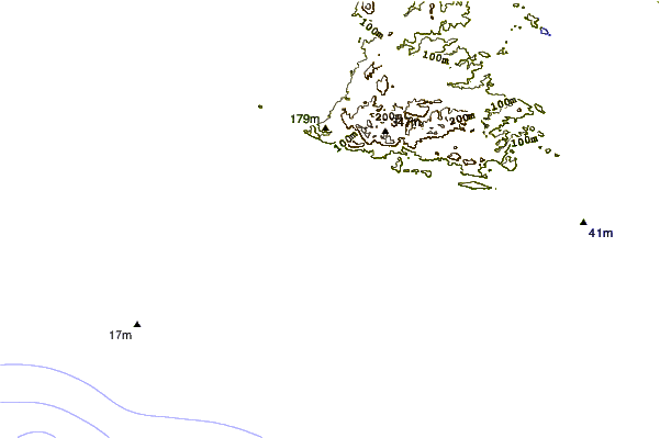
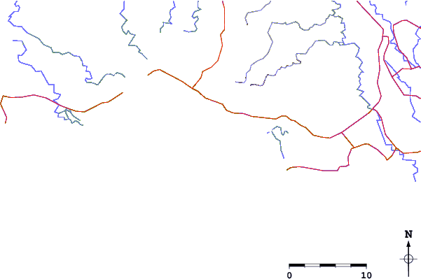
| Contours: | Roads & Rivers: | Select a
tide station / surf break / city |
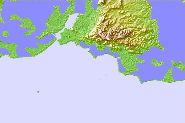
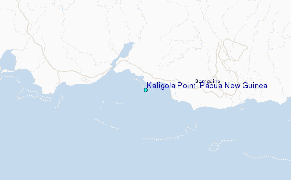
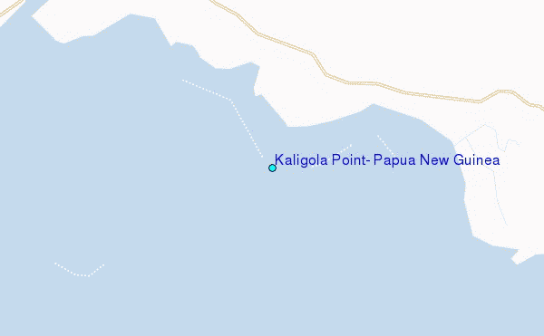
Use this relief map to navigate to tide stations, surf breaks and cities that are in the area of Kaligola Point, Papua New Guinea.
Other Nearby Locations' tide tables and tide charts to Kaligola Point, Papua New Guinea:
click location name for more details
 Surf breaks close to Kaligola Point, Papua New Guinea:
|
||
|---|---|---|
| Closest surf break | Tupira Right | 439 mi |
| Second closest surf break | Raiven | 487 mi |
| Third closest surf break | Duke of York | 500 mi |
| Fourth closest surf break | Rubio | 536 mi |
| Fifth closest surf break | Edmago | 545 mi |

 Nearest
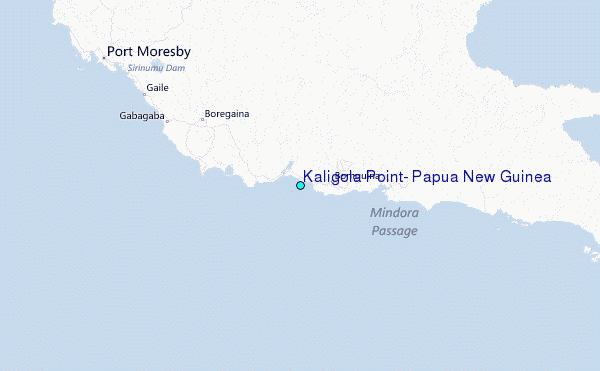