
| Distance / Altitude | Location | Report Date / Time | Live Weather | Wind | Gusts | Temp. | Visibility | Cloud |
|---|---|---|---|---|---|---|---|---|
| 59 km S / 8 m | Pottuvil (Sri Lanka) | 2024-04-29 18:30 local (2024/04/29 13:00 GMT) | no report | light winds from the E (7 km/h at 80) | 31°C | 20 | - - - | |
| 126 km SW / 1895 m | Nuwara Eliya (Sri Lanka) | 2024-04-29 18:30 local (2024/04/29 13:00 GMT) | no report | light winds from the E (7 km/h at 90) | 18°C | 16 | - - - | |
| 147 km S / 7 m | Mattala Rajapaksa International Airport (Sri lanka) | 2024-04-29 19:40 local (2024/04/29 14:10 GMT) | Thunderstorm - in the vicinity | calm (0 km/h at 0) | 29°C | 10.0 | few few | |
| 166 km S / 15 m | SHIP9443 (Marine) | 2024-04-29 18:30 local (2024/04/29 13:00 GMT) | - (- km/h at -) | — | - km | |||
| 168 km W / 117 m | Maha Illuppallama (Sri Lanka) | 2024-04-29 19:30 local (2024/04/29 14:00 GMT) | thunderstorm but no precipitation falling at station | light winds from the NW (7 km/h at 320) | 30°C | 20 | - - - |
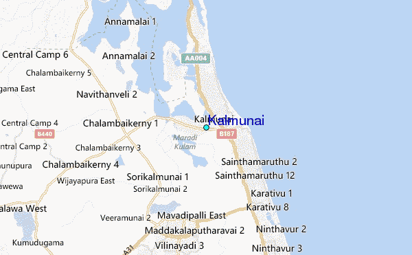
| Contours: | Roads & Rivers: | Select a
tide station / surf break / city |
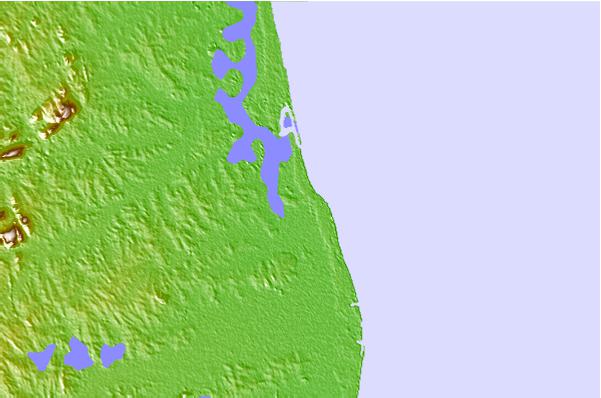
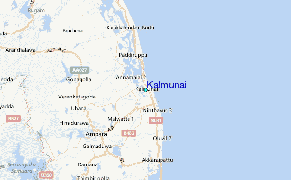
Use this relief map to navigate to tide stations, surf breaks and cities that are in the area of Kalmunai.
Other Nearby Locations' tide tables and tide charts to Kalmunai:
click location name for more details
 Surf breaks close to Kalmunai:
|
||
|---|---|---|
| Closest surf break | Whiskey Point | 35 mi |
| Second closest surf break | Pottuvil Point | 36 mi |
| Third closest surf break | Peanut Farm Point | 37 mi |
| Fourth closest surf break | Arugam Bay | 40 mi |
| Fifth closest surf break | Elephant Rock | 42 mi |

 Nearest
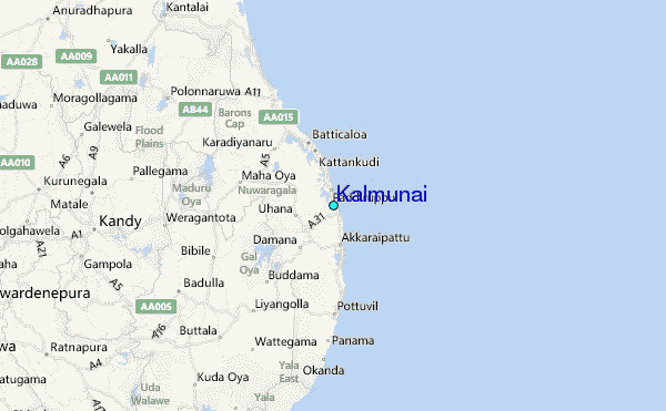