
| Distance / Altitude | Location | Report Date / Time | Live Weather | Wind | Gusts | Temp. | Visibility | Cloud |
|---|---|---|---|---|---|---|---|---|
| 27 km SSW / 240 m | Fukue (Japan) | 2024-04-28 14:00 local (2024/04/28 05:00 GMT) | - | light winds from the E (9 km/h at 80) | 22°C | 40 km | no observation | |
| 30 km SSW / 27 m | Fukue Airport (Japan) | 2024-04-28 13:00 local (2024/04/28 04:00 GMT) | Dry and partly cloudy | light winds from the N (6 km/h at 1) | 23°C | 10.0 | few broken | |
| 73 km NE / 59 m | Hirado Island (Japan) | 2024-04-28 14:00 local (2024/04/28 05:00 GMT) | Mist | light winds from the SSW (15 km/h at 200) | 24°C | 40 km | - no observation - | |
| 73 km ENE / 6 m | Sasebo (Japan) | 2024-04-28 14:00 local (2024/04/28 05:00 GMT) | - | light winds from the SW (11 km/h at 220) | 24°C | 40 km | - no observation - | |
| 74 km ESE / 15 m | SHIP11361 (Marine) | 2024-04-28 14:00 local (2024/04/28 05:00 GMT) | - (- km/h at -) | — | - km |
| Contours: | Roads & Rivers: | Select a
tide station / surf break / city |
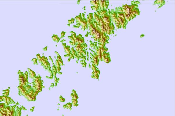
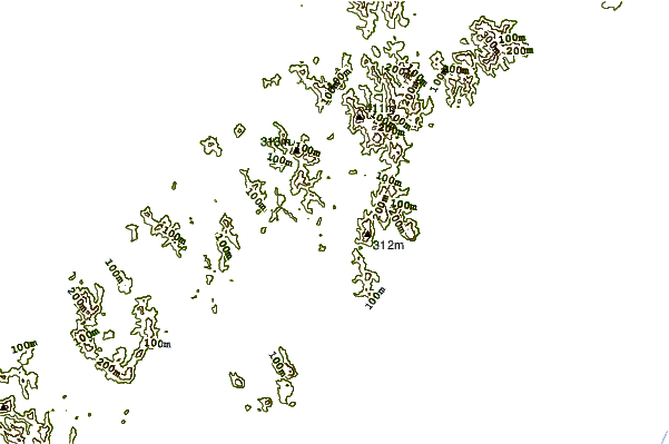
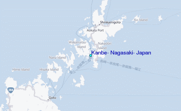
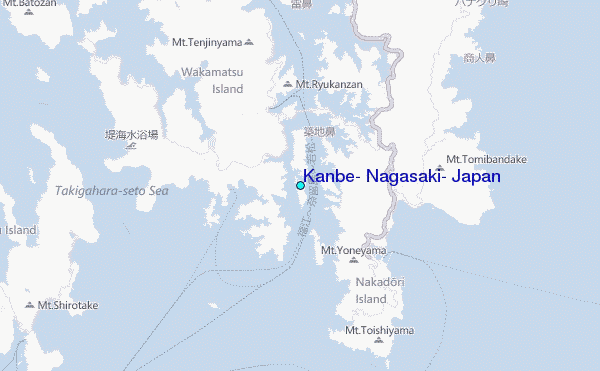
Use this relief map to navigate to tide stations, surf breaks and cities that are in the area of Kanbe, Nagasaki, Japan.
Other Nearby Locations' tide tables and tide charts to Kanbe, Nagasaki, Japan:
click location name for more details
 Surf breaks close to Kanbe, Nagasaki, Japan:
|
||
|---|---|---|
| Closest surf break | Nomozaki | 39 mi |
| Second closest surf break | Fukuoka | 73 mi |
| Third closest surf break | Kangjeong (Jejudo Island) | 151 mi |
| Fourth closest surf break | Hakashita | 154 mi |
| Fifth closest surf break | Jungmun Beach (Jeju Island) | 154 mi |

 Nearest
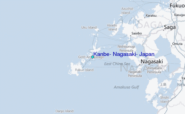